







Dingboche
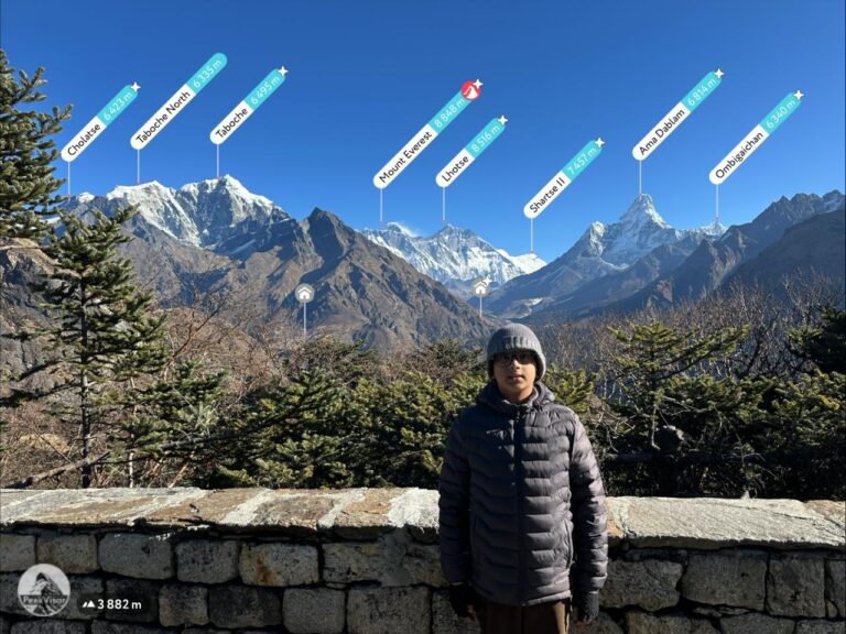
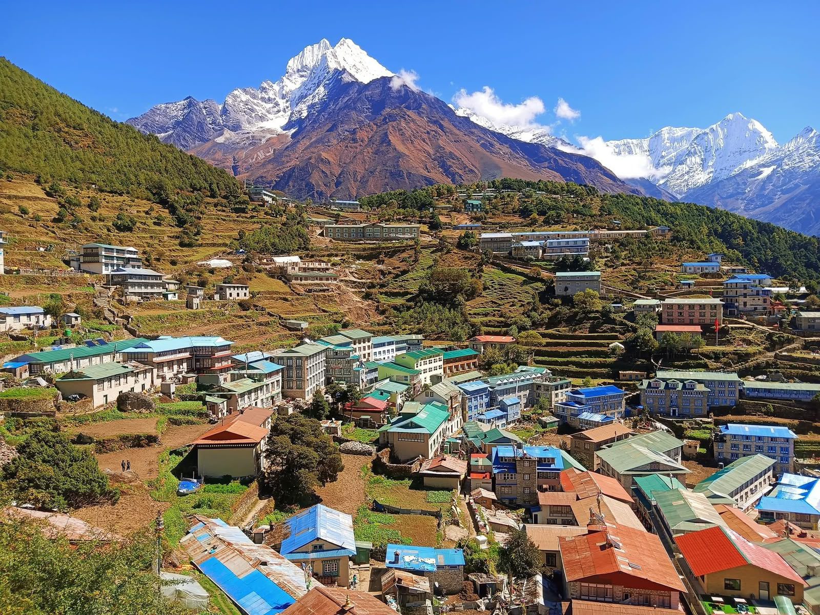
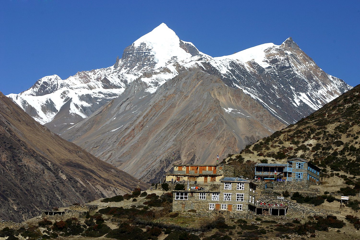
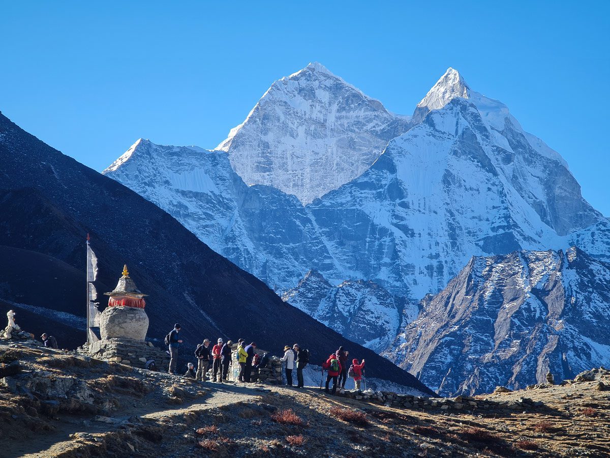
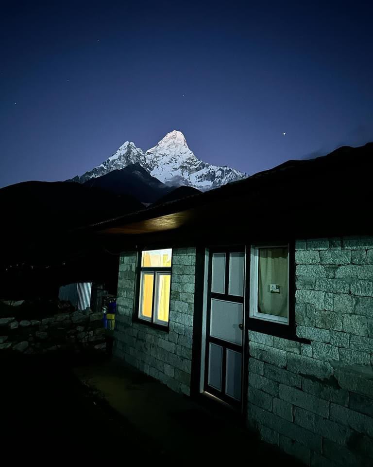
The Imja Valley's high-altitude village, with Ama Dablam towering overhead
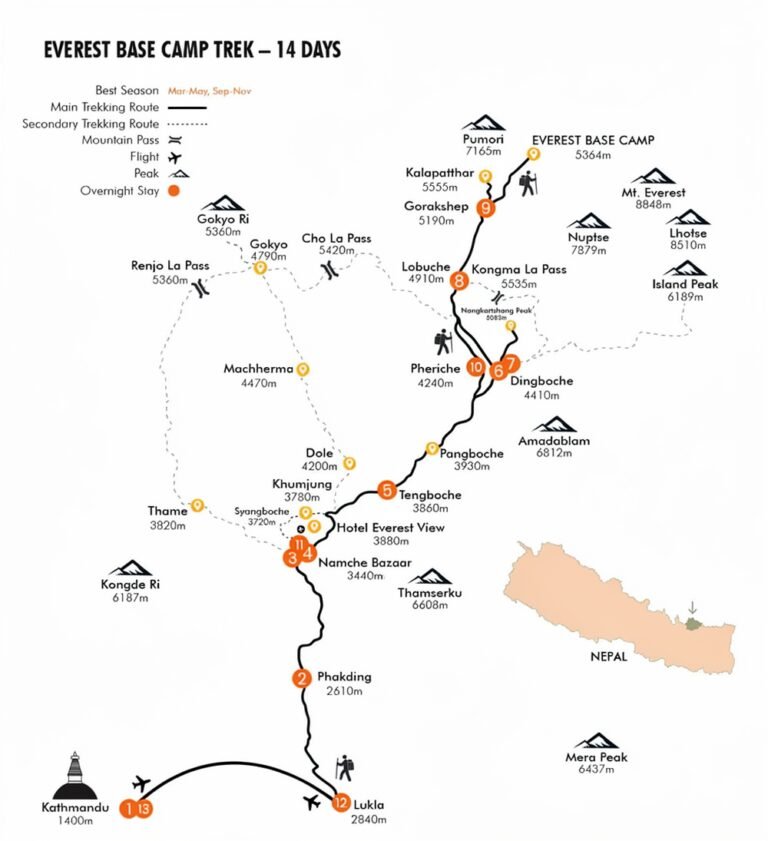
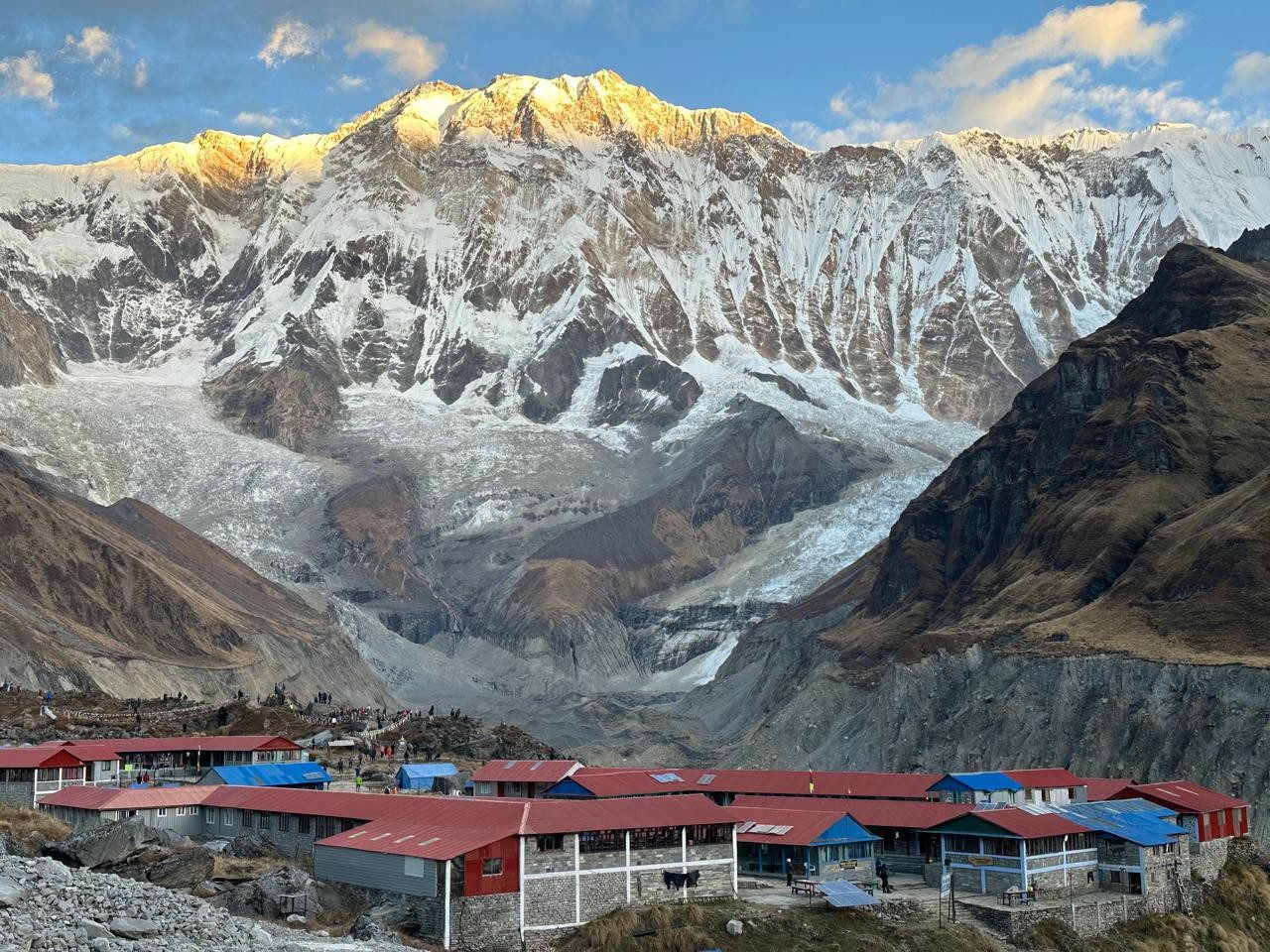
Set at 4,410 m in the sunny Imja Valley, Dingboche is the classic acclimatization stop on the Everest Base Camp trek, with stone-walled fields, Ama Dablam views and gateway trails to Island Peak and Chhukhung.
Why Dingboche is known
Main acclimatization stop on the Everest Base Camp trek
Face-to-face views of Ama Dablam, Lhotse and Island Peak
Stone-walled barley and potato fields, unusual at this altitude
Gateway to Chhukhung and the Island Peak (Imja Tse) climb
Sunny, sheltered valley with a peaceful Sherpa village feel
About Dingboche
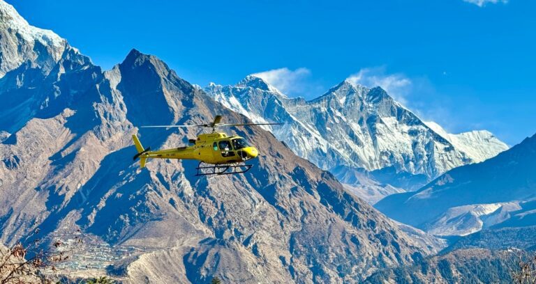
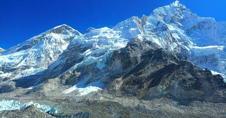
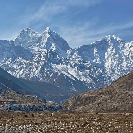
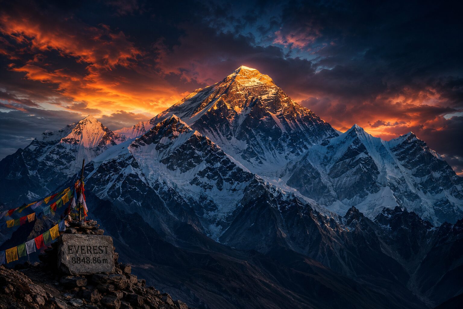
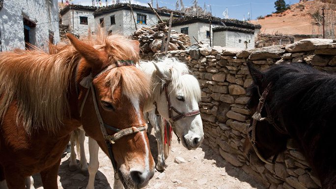
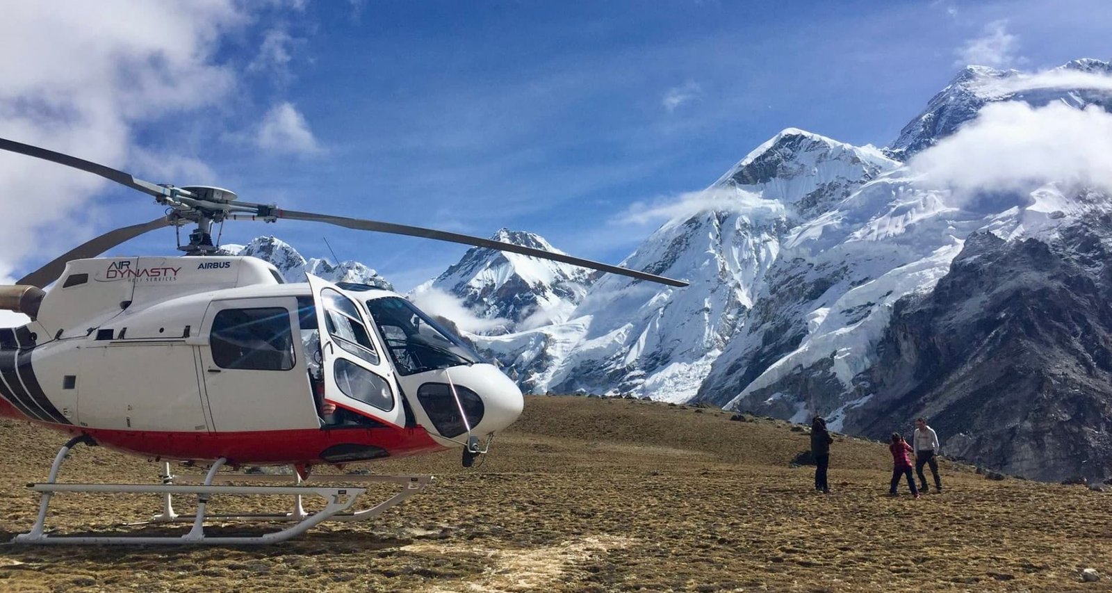
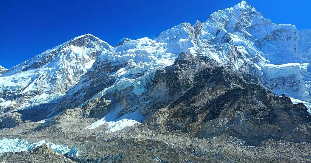
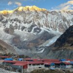
At 4,410 metres, Dingboche sits in the broad, glacier-carved Imja Valley, where the treeline gives way to open mountain landscape. Originally a summer settlement for Sherpa herders, it has grown into one of the most important stops on the Everest trail. Low stone walls shelter barley and potato fields, yaks graze on the hillsides, and the walls of Ama Dablam, Lhotse and Island Peak rise on every side.
The walk to Dingboche
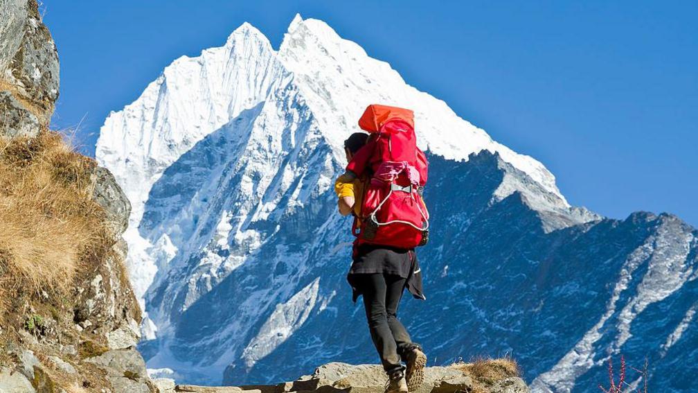
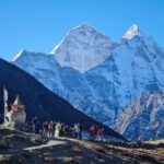
From Tengboche, the trail drops through rhododendron forest to the Imja River, then climbs through Pangboche and into the open valley. As the trees thin out, the views widen, with Ama Dablam hanging over the trail almost the whole way. The last stretch is a gentle ascent across high pastures and past mani walls and chortens before the village appears.
The acclimatization day
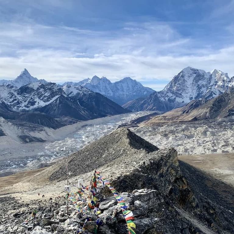
Almost every Everest itinerary includes two nights here, and for good reason. Dingboche is high enough that your body needs time to adapt before going on to Lobuche and Gorak Shep. The classic acclimatization hike climbs Nangkartshang Peak (about 5,080 m) for a huge panorama that includes Makalu, Lhotse and Island Peak. A gentler option is to walk toward Chhukhung. Either way, the rule is “climb high, sleep low”, then return to Dingboche to rest.
Life in the village
Dingboche is made up of simple, comfortable teahouses, bakeries and small shops. Mornings are bright and sunny, but temperatures drop sharply after sunset, so dining rooms with a central stove become the heart of the evening. Hot lemon, garlic soup and dal bhat are the staples here.
Gateway to Island Peak
The valley beyond Dingboche leads to Chhukhung and the Island Peak (Imja Tse) climbing route. Even if you are not climbing, the walk toward Chhukhung gives superb close views of Lhotse’s south face and the Imja glacial valley.
Staying healthy at altitude
At this height, altitude sickness is a real risk. Ascend slowly, drink 3 to 4 litres of water daily, avoid alcohol, and tell your guide about headaches, nausea or unusual tiredness. The nearby village of Pheriche has a high-altitude clinic that gives advice to trekkers during the main seasons.
Practical tips
Rooms are basic and nights are very cold, so bring a warm sleeping bag, thermal layers and a down jacket. Carry cash, since card payments and ATMs are not available, and expect to pay extra for charging and WiFi.
Highlights
- Wake to Ama Dablam glowing at sunrise right above the village
- Hike Nangkartshang Peak for views of Makalu, Lhotse and Island Peak
- Walk the Imja Valley to Chhukhung (4,730 m) for a closer look at Lhotse
- Wander stone-walled fields and yak pastures above the treeline
- See the Island Peak (Imja Tse) basecamp area from the trail
- Warm up in sunny teahouse dining rooms with mountain views
- Visit the high-altitude clinic in nearby Pheriche
- Enjoy fresh bakery treats at 4,400 m
Location
Open in Google MapsFrequently asked questions
How high is Dingboche?
Dingboche is at 4,410 m (14,470 ft) in the Imja Valley.
Why do trekkers stay two nights in Dingboche?
For acclimatisation. A rest day with a hike to higher ground, then sleeping back in Dingboche, helps your body adjust before Lobuche and Gorak Shep.
What is the best acclimatisation hike from Dingboche?
Nangkartshang Peak (about 5,080 m) is the classic choice for views of Makalu, Lhotse and Island Peak. A gentler option is the walk towards Chhukung.
How long from Tengboche to Dingboche?
About 5 to 6 hours via Deboche and Pangboche.
How long from Dingboche to Lobuche?
About 4 to 5 hours via Dughla and the Thukla Pass memorials.
Where do Three Passes trekkers go from Dingboche?
They usually walk up to Chhukung (4,730 m) to start the Kongma La crossing to Lobuche.
Is there Wi-Fi and charging in Dingboche?
Yes, for a fee. Wi-Fi works through Everest Link cards and charging costs a few dollars per device. There are no ATMs.
Is there a medical clinic near Dingboche?
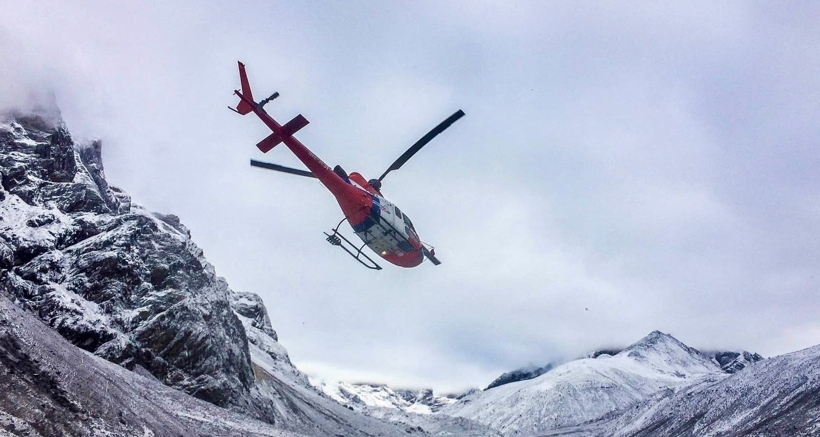
The Himalayan Rescue Association clinic in Pheriche, a short walk over the ridge, helps trekkers with altitude illness during the main seasons.
You may also like
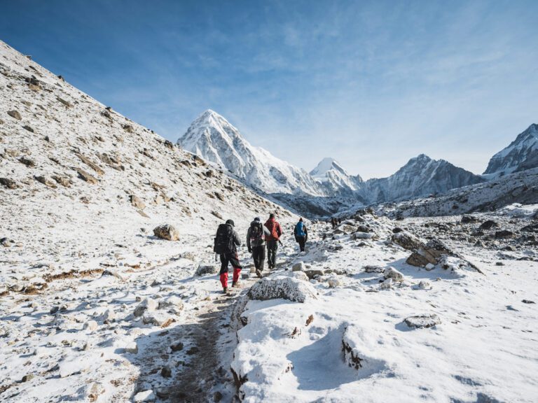
 Place · ViewpointNangkartshang PeakAbout 5,083 m / 16,677 ft
 Place · VillagePhericheAbout 4,371 m / 14,340 ft
 Place · MountainAma Dablam6,812 m / 22,349 ft
 Place · LandmarkThukla Pass MemorialAbout 4,830 m / 15,850 ft
 Place · Base CampLukla2,846 m / 9,337 ft
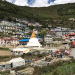 Place · Base CampNamche Bazaar3,440 m
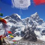 Place · Base CampSagarmatha National Park2,845 m to 8,849 m
 Place · Base CampTengboche Monastery3,867 mOffer · AutumnSpecial Everest Base Camp Trek Discount Offer5% Off In EBC TrekPlace · VillageChhukung4730Accommodation · LodgeDingboche Lodge4,410 m