

Everest Base Camp Helicopter Tour – Detailed Itinerary
Itinerary at a glance
| Day | Route | Altitude |
|---|---|---|
| Stop 1 | Hotel pickup — private transfer | 1,400 m |
| Stop 2 | Pre-flight Briefing & Check-in | 1,400 m |
| Stop 3 | Departure, Kathmandu Domestic Airport | 1,400 m |
| Stop 4 | Lukla — Refuelling Stop | 2,840 m |
| Stop 5 | Fly Over Namche Bazaar | 3,340 m |
| Stop 6 | Tengboche Monastery Overfly | 3,860 m |
| Stop 7 | Khumbu Glacier Aerial | 5,200 m |
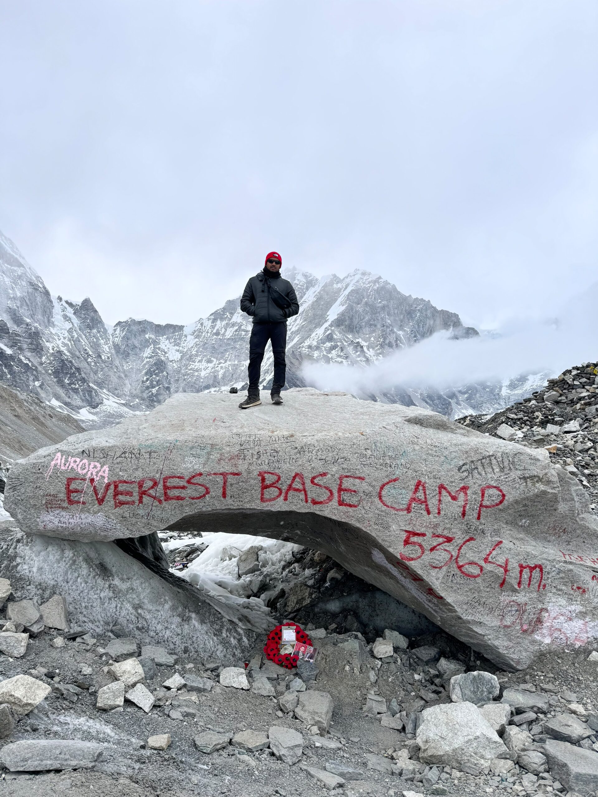
| Stop 8 | Aerial Orbit of Everest Base Camp | 5,364 m |
| Stop 9 | Landing at Kala Patthar | 5,545 m |
| Stop 10 | Breakfast at Hotel Everest View | 3,880 m |
| Stop 11 | Return to Kathmandu | 1,400 m |
| Stop 12 | Private transfer back to hotel | 1,400 m |
Trip profile
All stops in a table
| Stop | Place | Altitude | Temperature |
|---|---|---|---|
| Stop 1 | Hotel pickup — private transfer | 1,400 m | 22° / 10°C72° / 50°F |
| Stop 2 | Pre-flight Briefing & Check-in | 1,400 m | 22° / 10°C72° / 50°F |
| Stop 3 | Departure, Kathmandu Domestic Airport | 1,400 m | 22° / 10°C72° / 50°F |
| Stop 4 | Lukla — Refuelling Stop | 2,840 m | 12° / 2°C54° / 36°F |
| Stop 5 | Fly Over Namche Bazaar | 3,340 m | 12° / 1°C54° / 34°F |
| Stop 6 | Tengboche Monastery Overfly | 3,860 m | 14° / -8°C57° / 18°F |
| Stop 7 | Khumbu Glacier Aerial | 5,200 m | — |
| Stop 8 | Aerial Orbit of Everest Base Camp | 5,364 m | 1° / -10°C34° / 14°F |
| Stop 9 | Landing at Kala Patthar | 5,545 m | 1° / -13°C34° / 9°F |
| Stop 10 | Breakfast at Hotel Everest View | 3,880 m | 11° / -2°C52° / 28°F |
| Stop 11 | Return to Kathmandu | 1,400 m | 22° / 10°C72° / 50°F |
| Stop 12 | Private transfer back to hotel | 1,400 m | 22° / 10°C72° / 50°F |
Day-by-day itinerary
Your private vehicle collects you from your Kathmandu hotel lobby. No shared bus, no waiting at a meeting point. Your InTicketo driver holds a personalized name board. Transfer time to Tribhuvan International Airport Domestic Terminal is approximately 20–30 minutes depending on morning traffic. Bring your passport and your booking confirmation (printed or on your phone). The city is quiet at this hour — Kathmandu wakes slowly — and the drive is comfortable.
What to bring: Passport, booking confirmation, camera, ear protection (we provide some), layers for altitude.
Your InTicketo airport representative meets you at the domestic terminal entrance — look for the InTicketo sign. They handle everything: permit collection, weight check (mandatory for all high-altitude flights — body weight plus bag must not exceed 90 kg combined per passenger for safe high-altitude performance), and boarding pass issuance. You do nothing but show your passport.
A 10-minute safety briefing follows: how to board and exit the helicopter, window operation, communication with the pilot via headset intercom, what to do at Kala Patthar, altitude awareness signs, and the single most important instruction — move slowly at 5,545 m.
Ear protection is distributed. All passengers are assigned window seats.
Note: Passengers over 80–90 kg combined (body + bag) should notify us at the time of booking. Weight distribution is a safety requirement for high-altitude aviation, not a policy preference.
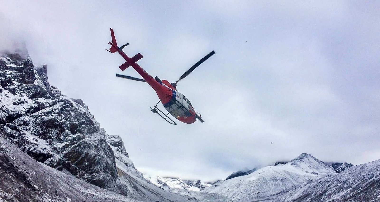
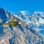
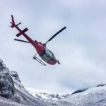
The Airbus AS350 B3 lifts smoothly northeast from Tribhuvan International Airport. Within five minutes of takeoff, the sprawling concrete and orange-brick of Kathmandu Valley gives way to terraced green hillsides and then the first snow-capped ridgelines of the Himalayan foothills. On a clear morning, you can see Everest from the Kathmandu departure — a white pyramid far to the northeast, deceptively small at this distance. Flight time to Lukla is approximately 40–45 minutes. This is a good time to film — the transition from city to mountain is dramatic and fast.
A brief technical stop for refuelling. At altitudes above 4,000 m, air density drops to roughly half that of sea level, and helicopter payload must be precisely recalculated for the high-altitude segment. Passengers on shared group tours may divide into groups of two or three for the Kala Patthar leg. You do not need to exit the helicopter unless you wish to. From the ground here, Tenzing-Hillary Airport's famous 527-metre sloped runway — carved directly into a cliff edge at 2,840 m, voted the world's most dangerous airport — is worth photographing. The Dudh Koshi River valley stretches below in both directions.
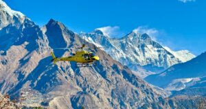
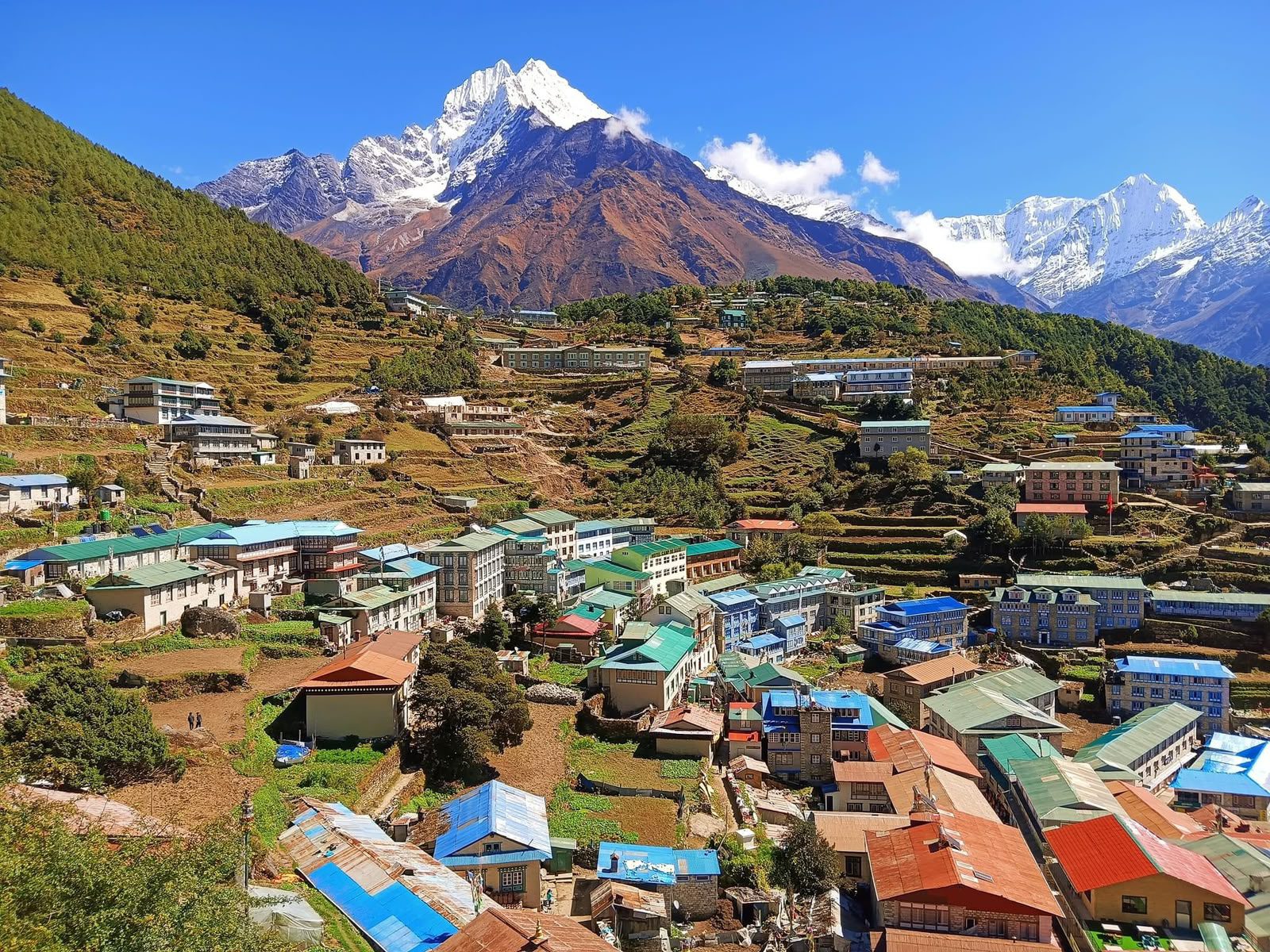
Your helicopter climbs into the upper Khumbu Valley and crosses above Namche Bazaar — the Sherpa capital of Nepal and the last significant town before Everest. From the air, its distinctive horseshoe crescent of lodges, bakeries, and expedition gear shops is visible clinging to the steep hillside above the Bhote Koshi river gorge. This is a journey that takes trekkers a full two days on foot; your helicopter covers it in under ten minutes. Ahead, the valley narrows and the peaks grow dramatically larger.
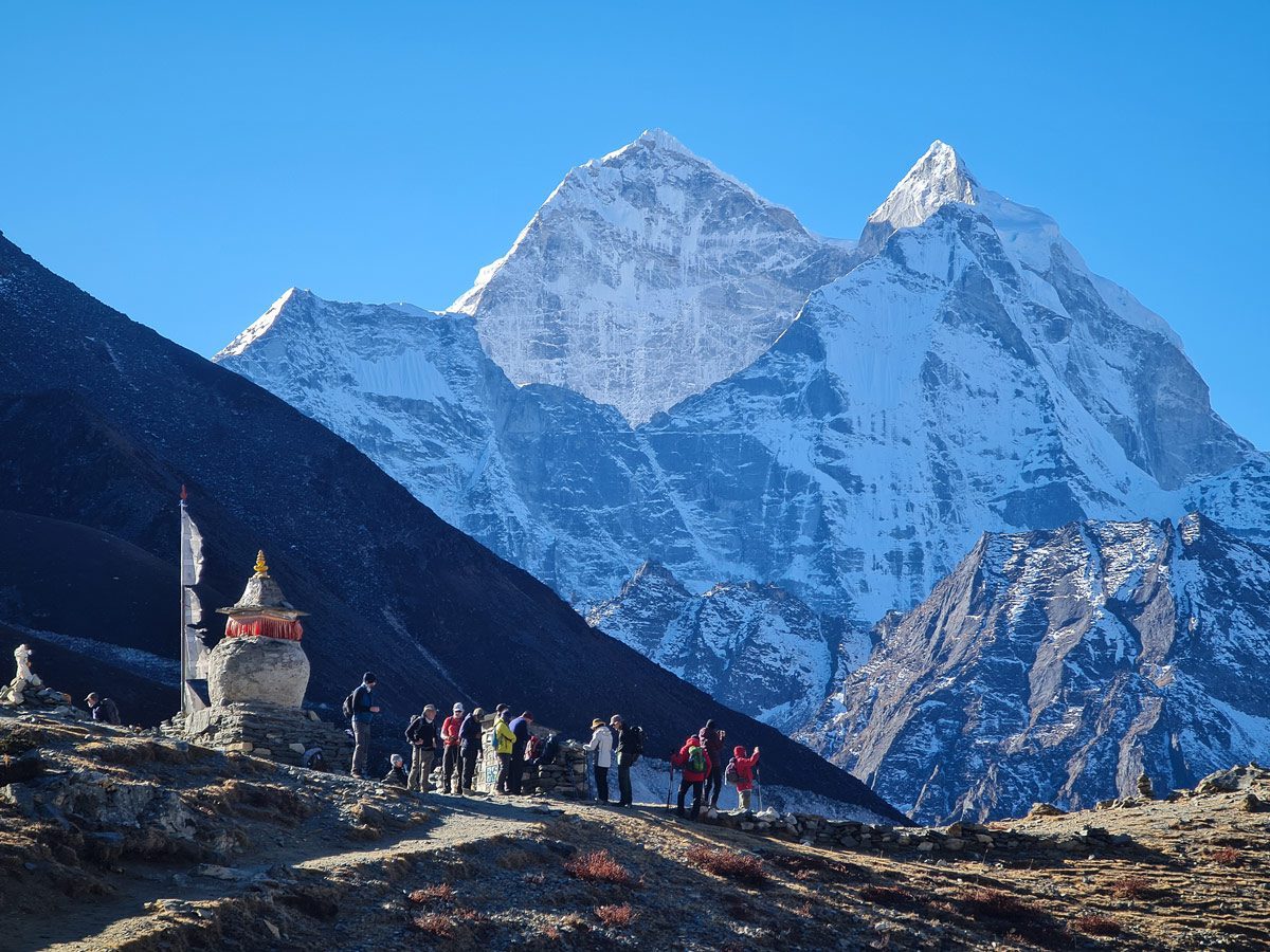
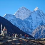
The largest and most revered Tibetan Buddhist monastery in the entire Khumbu region passes beneath you. Its white and deep red structure sits on a dramatic ridge with Ama Dablam (6,812 m) — the "Matterhorn of the Himalayas" — rising in a textbook-perfect pyramid directly behind it. This is the single most-photographed view in Nepal. You see it from above, at the altitude of the monastery's own rooftop, which no trekker standing on the ground below ever does. The monastery bells and prayer flags are visible if visibility is good.
The helicopter climbs over the Khumbu Glacier — 17 kilometres of ancient, moving ice, one of the most studied and most famous glaciers on Earth. From directly above at 5,200 m, the blue-white surface, medial moraines, lateral ice ridges, and deep crevasses are completely exposed. The glacier flows visibly from the Western Cwm above down toward Lobuche and Dughla below. This aerial perspective cannot be replicated from any ground position anywhere in the Khumbu Valley — it is exclusively a helicopter view.
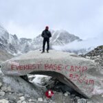
Your helicopter descends slightly and performs one or two low orbits directly above Everest Base Camp at 5,364 m. In peak season (March–May, September–November), the colorful expedition tents of multiple international Everest summit teams are laid out across the Khumbu Glacier — color-coded by expedition, visible as bright dots on white ice from above. The Khumbu Icefall — the most technically dangerous section of any Everest ascent route, a constantly shifting mass of ice towers, seracs, and open crevasses — tumbles in full view below you. Fixed rope lines and aluminium ladders used by climbers are visible on the lower Icefall on clear days.
This is the view that no ground-based trekker sees: the Icefall from directly above, the entire Base Camp layout from a bird's perspective, the full scale of the glacier in one frame.
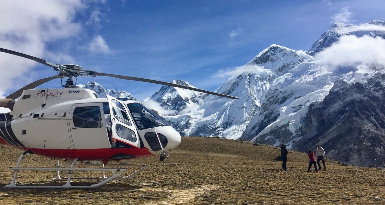
The helicopter lands on the rocky ridge of Kala Patthar — "Black Rock" in Nepali — a subsidiary peak of Pumori and the finest Everest viewpoint on Earth.
At 5,545 m, you are now standing:
- Higher than the entire European Alps (Mont Blanc: 4,808 m)
- Higher than all of North America except Denali (6,190 m)
- Higher than every peak in Africa, Australia, and Antarctica except Vinson Massif
- Higher than Everest Base Camp itself (5,364 m) by 181 vertical metres
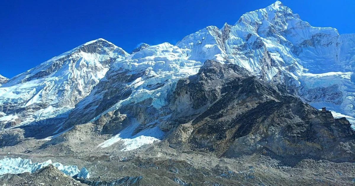
Mount Everest's full south-west face and summit pyramid is 3.6 km away — close enough to see the Hillary Step, the Yellow Band limestone stratum, the South Col, and on the clearest days the fixed ropes of the summit route. Lhotse (8,516 m), Nuptse (7,861 m), Pumori (7,161 m), Changtse (7,543 m), and Ama Dablam (6,812 m) complete a 360-degree panorama of eight-thousanders and six-thousanders.
You have 10–15 minutes here. Move slowly — altitude affects coordination and breathlessness is normal. Face south-west for the primary Everest shot. Use the helicopter as a foreground element for an iconic composition. Your pilot remains with the aircraft and will signal when it is time to board.
Photography note: Golden morning light arrives at Kala Patthar between 8:30–10:00 AM. The south-west face of Everest is fully lit with no backlight. Optimal for portraits and landscape shots simultaneously.
The helicopter descends from Kala Patthar to Syangboche (3,880 m) — a descent of 1,665 vertical metres in approximately 10 minutes. You land at the Hotel Everest View helipad and walk 2–3 minutes along a paved path to the hotel terrace.
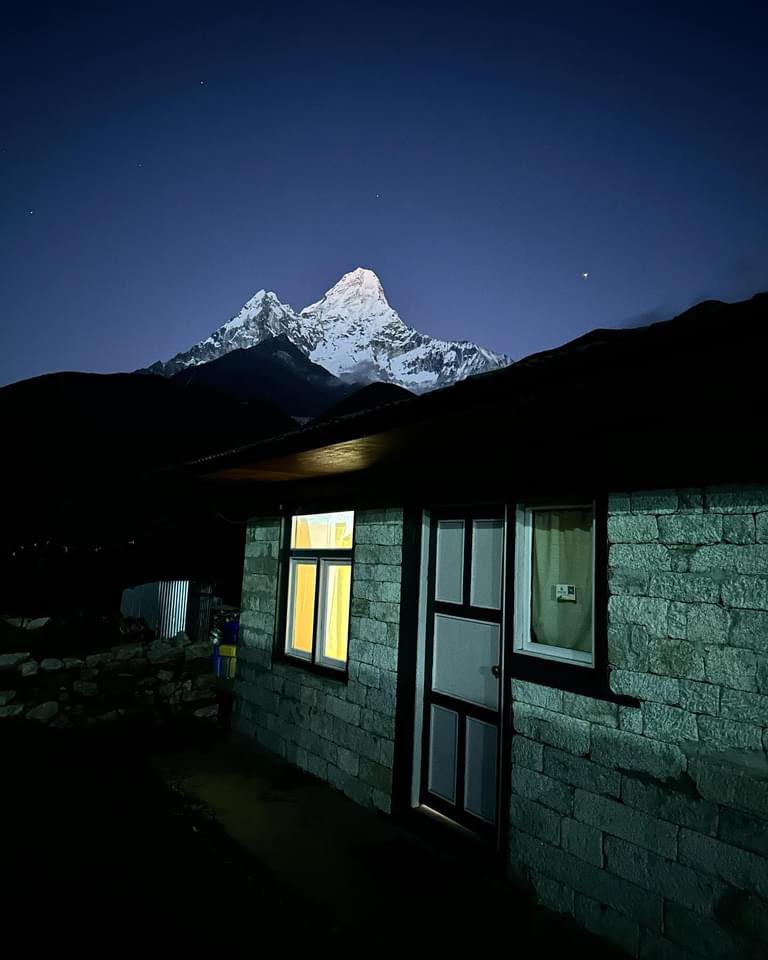
Hotel Everest View: Official name: Hotel Everest View, Syangboche, Solukhumbu District, Nepal Altitude: 3,880 m / 12,729 ft Record: Guinness World Records — highest-placed hotel on Earth, continuously since 1971 Built: 1971 by Japanese entrepreneur Yohei Horikoshi Purpose: Designed specifically so guests could see Everest from their rooms and terrace without trekking
Your table is on the open south-facing terrace. Mount Everest (8,848.86 m), Lhotse, and Ama Dablam are directly in front of you — the same view, from a comfortable chair, with a hot breakfast.
What is served (value approximately USD 50 per person — included in your tour price):
- Eggs your way: scrambled, fried, poached, boiled, or omelette
- Toast or Tibetan bread with butter and jam
- Fresh seasonal fruit platter
- Nepali butter tea, standard tea, or coffee
- Fresh orange or apple juice
- Hot porridge available on request
Nothing additional to pay at the hotel. Your breakfast is pre-arranged and fully covered by InTicketo.
You spend 45–60 minutes here. After the intensity of Kala Patthar (5,545 m), the hotel's altitude (3,880 m) feels remarkably comfortable — most guests describe feeling completely relaxed within 15 minutes of arrival. This is the time for unhurried photographs, conversation, and the quiet satisfaction of having seen Everest from 5,545 m and now sitting in front of it at a table with a cup of coffee.
The terrace faces south: Everest, Lhotse, and Ama Dablam are fully lit in the morning. No backlight issues. Wide-angle from the terrace captures all three peaks simultaneously. The best portrait position is facing north with Everest behind — light is on your face, mountain fills the background.
Optional: overnight stay at Hotel Everest View can be arranged. You can then hike down to Namche Bazaar the following morning for a deeper Sherpa culture experience.
Your helicopter departs Hotel Everest View and returns via Lukla for a final refuel stop. You descend through the Khumbu Valley — watching Namche Bazaar, the Dudh Koshi gorge, and the Himalayan foothills pass below — and land at Tribhuvan International Airport Domestic Terminal by approximately 11:00–11:30 AM.
Your private InTicketo vehicle is waiting at the terminal. You are returned directly to your hotel.
You are back at your hotel by 11:30 AM. Your entire afternoon is free. Kathmandu's temples, restaurants, and markets are all available. If you have an international flight this evening, there is ample time. If you are continuing your Nepal trip, you have just experienced the most dramatic possible introduction to the Himalayas.
Note: You are back at your hotel by midday. This tour fits perfectly as the first morning of your Nepal trip, your last morning before flying home, or any free morning in your itinerary.
Your private vehicle returns you to your hotel. The rest of your day is free — your afternoon in Kathmandu is fully intact.