










Ama Dablam
The mother's necklace: the Khumbu's most beautiful mountain
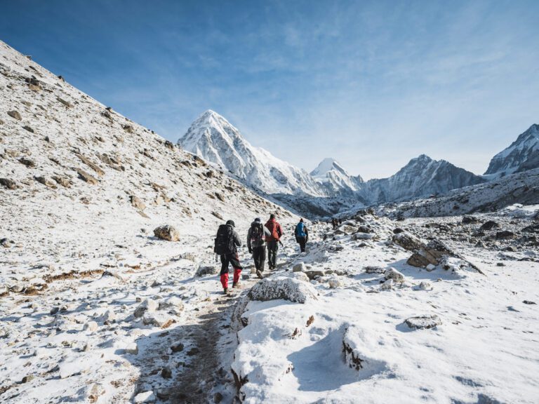
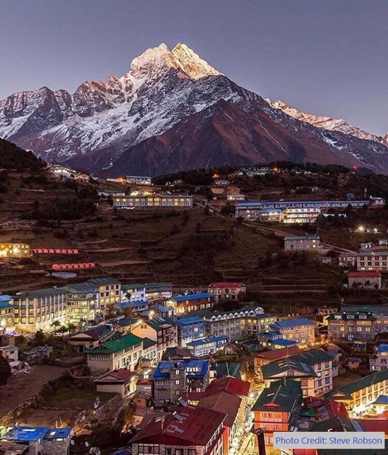
Ama Dablam (6,812 m) is the iconic peak of the Everest region, its name meaning 'mother's necklace'. First climbed in 1961, it towers over Tengboche, Pangboche and Dingboche. You see it for most of the Everest Base Camp trek, and many trekkers rate it the most beautiful mountain on the route.
Why Ama Dablam is known
Classic pyramid shape, often called Nepal's most beautiful peak
Name meaning 'mother's necklace'
First ascent in 1961 during Hillary's Silver Hut expedition
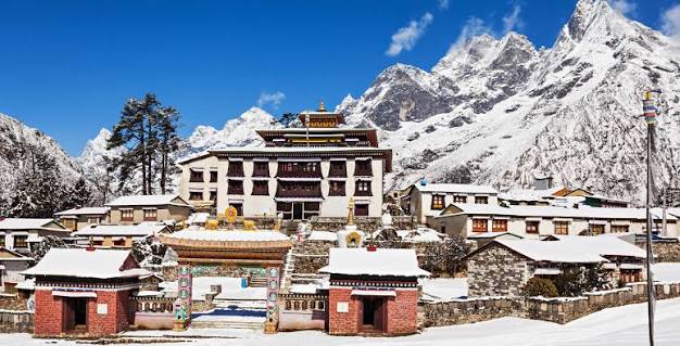
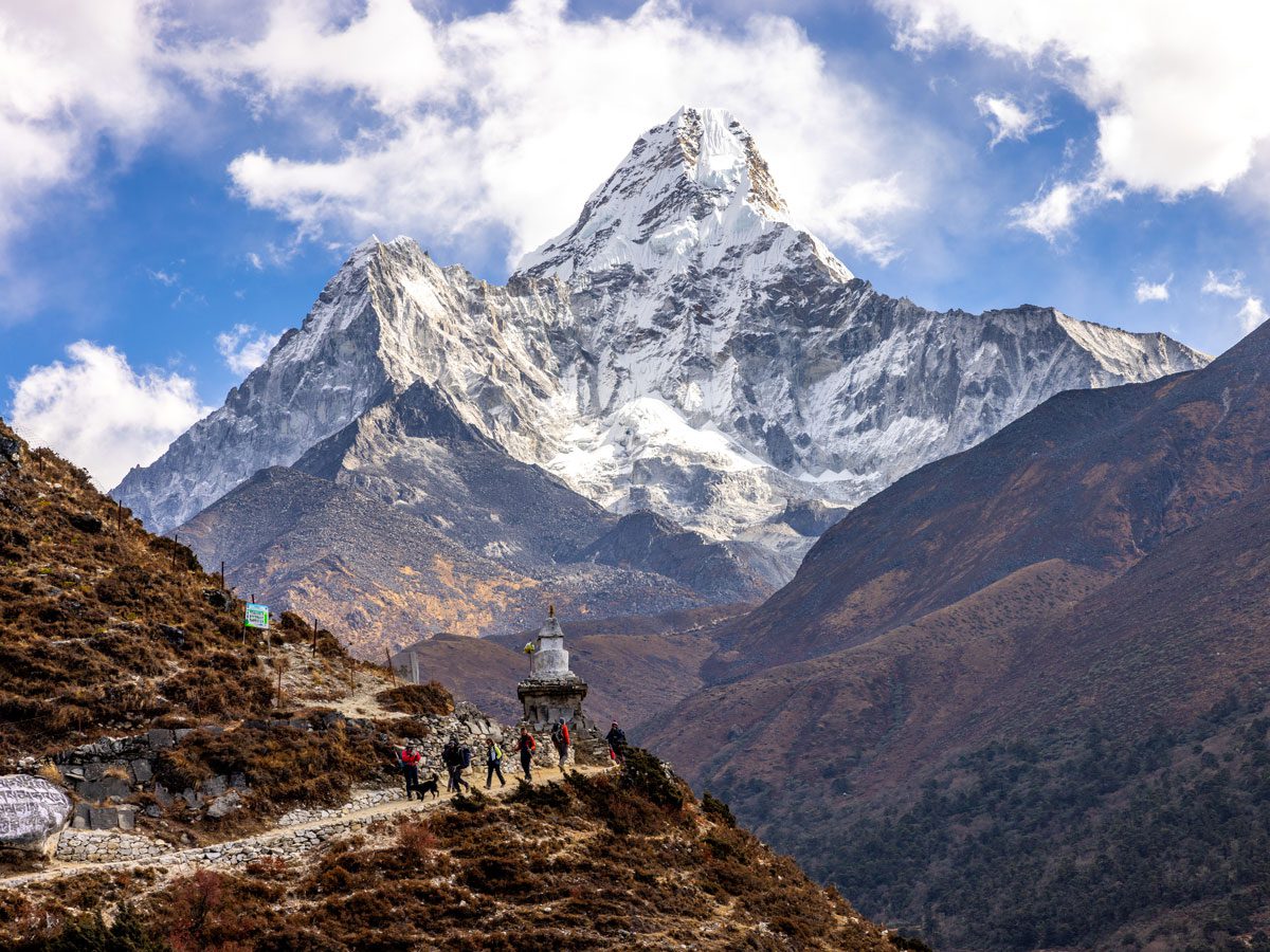
Iconic views from Tengboche and Pangboche
Popular technical climbing peak
About Ama Dablam
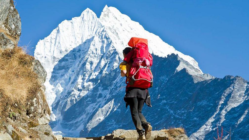
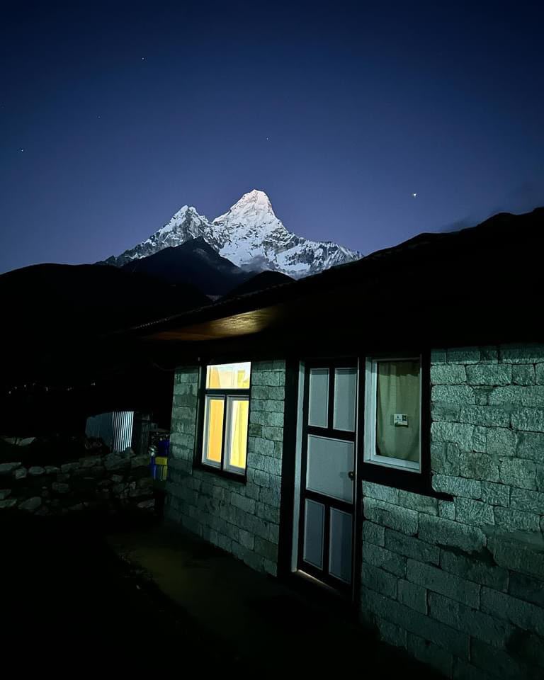
If Everest is the highest mountain in the Khumbu, Ama Dablam is the most beautiful. Rising to 6,812 metres (22,349 ft) above the Imja Khola valley, its sharp ridges and hanging glacier dominate the skyline for days on the Everest Base Camp Trek. Many trekkers come home with more photos of Ama Dablam than of Mount Everest itself.
Ama Dablam at a glance
- Height: 6,812 m / 22,349 ft
- Meaning: “Mother’s necklace” (Ama = mother, dablam = a pendant or charm box)
- Location: east of the Everest trail above Pangboche, Sagarmatha National Park
- First ascent: 13 March 1961, by Mike Gill, Barry Bishop, Mike Ward and Wally Romanes
- Standard route: South-west Ridge, from base camp above Pangboche (about 4,600 m)
- Climbing season: mainly October–November, also spring
- Best views on the trek: Tengboche, Pangboche, Dingboche and Nangkartshang Peak
Why is it called Ama Dablam?
From the south-west, the mountain’s two long ridges look like a mother’s arms reaching out to hold her child. The hanging glacier on the face below the summit looks like a dablam, the traditional charm box or pendant worn by Sherpa women, which holds sacred items. Put together, the name means “mother’s necklace”. For the Sherpa people it is a protective, motherly mountain, and a frequent subject of thangka paintings and stories.
Where to see Ama Dablam on the Everest Base Camp Trek
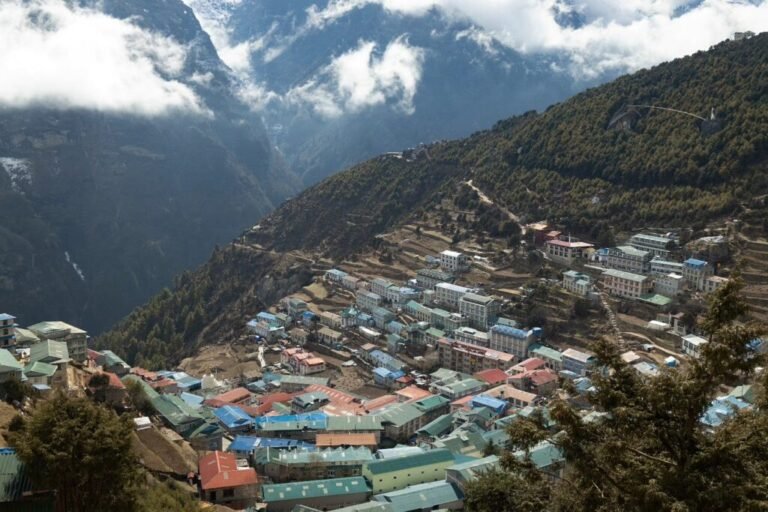
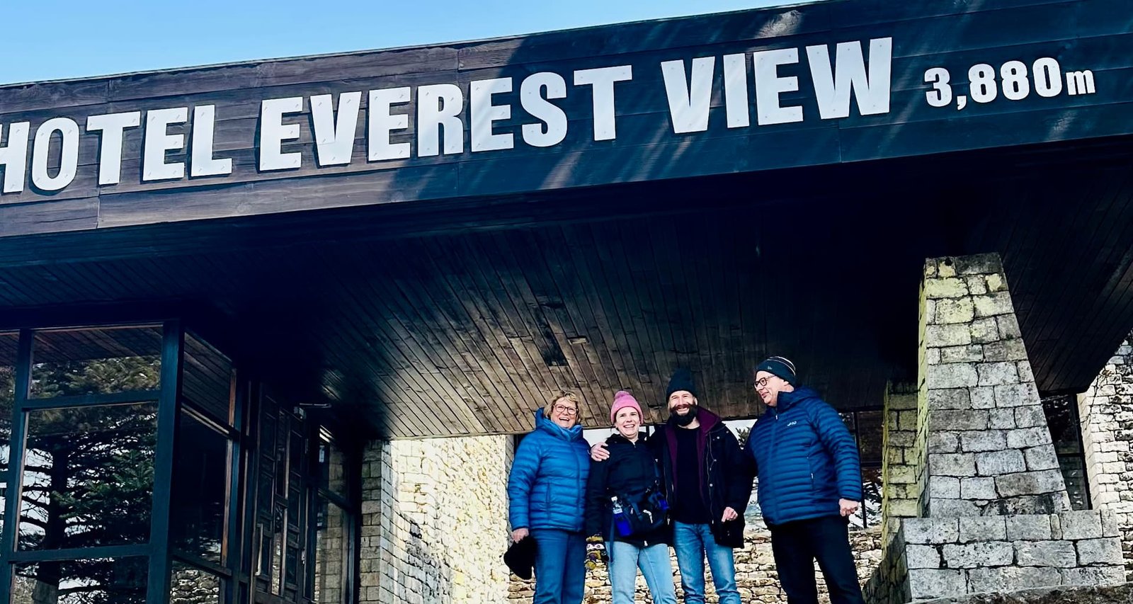
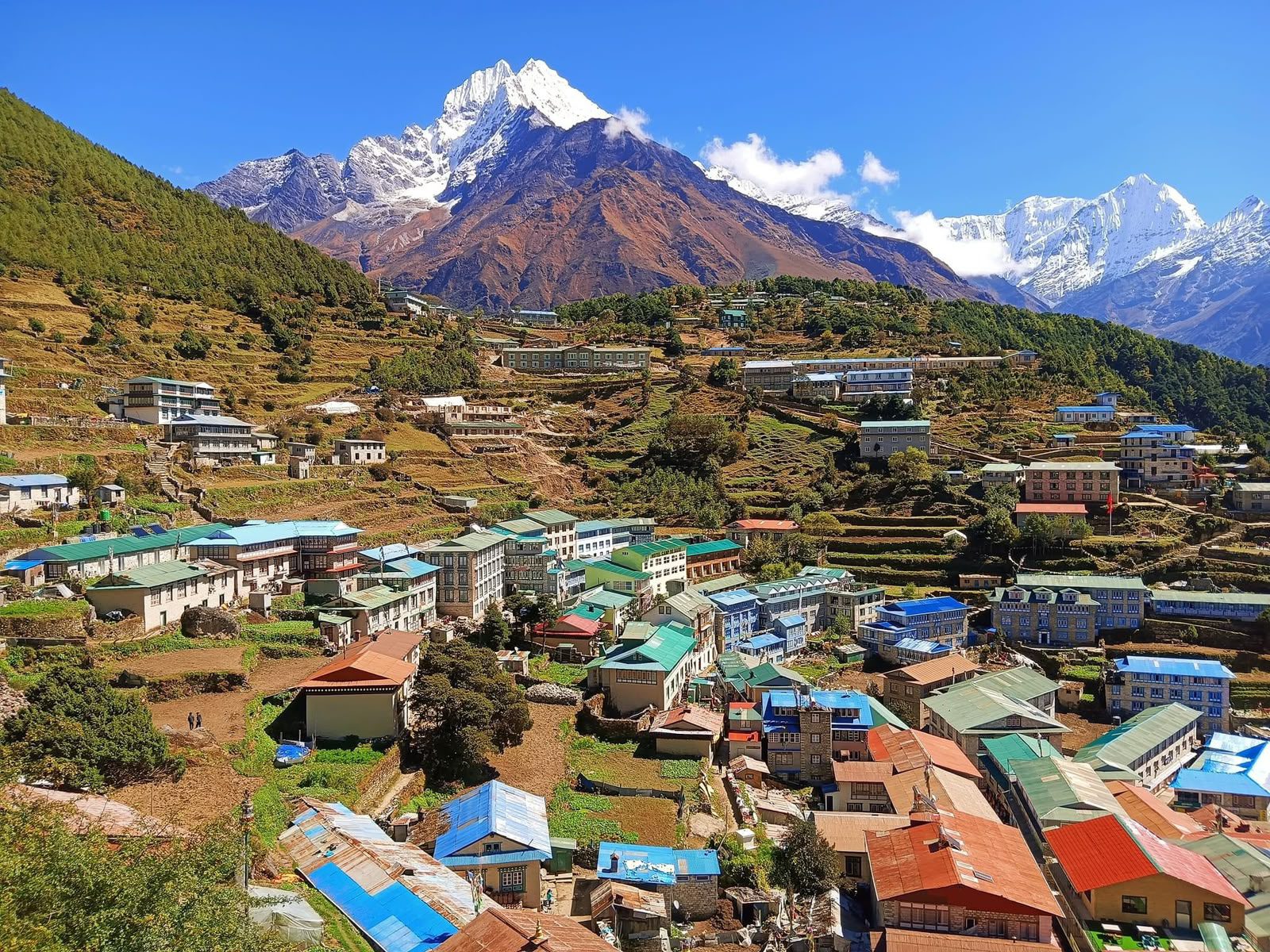
- Above Namche (Day 4): from Hotel Everest View and the trail to Khumjung, Ama Dablam stands to the right of Everest and Lhotse.
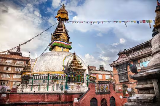
- Tengboche (Day 5): the monastery courtyard frames Ama Dablam perfectly; sunset turns it pink and gold.
- Pangboche (Day 5): the closest village to the mountain and the gateway to Ama Dablam Base Camp.
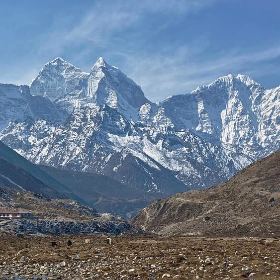
- Dingboche and Nangkartshang Peak (Days 6–7): from here you see its steeper north face, very different from the classic postcard view.
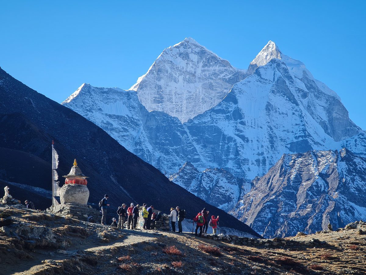
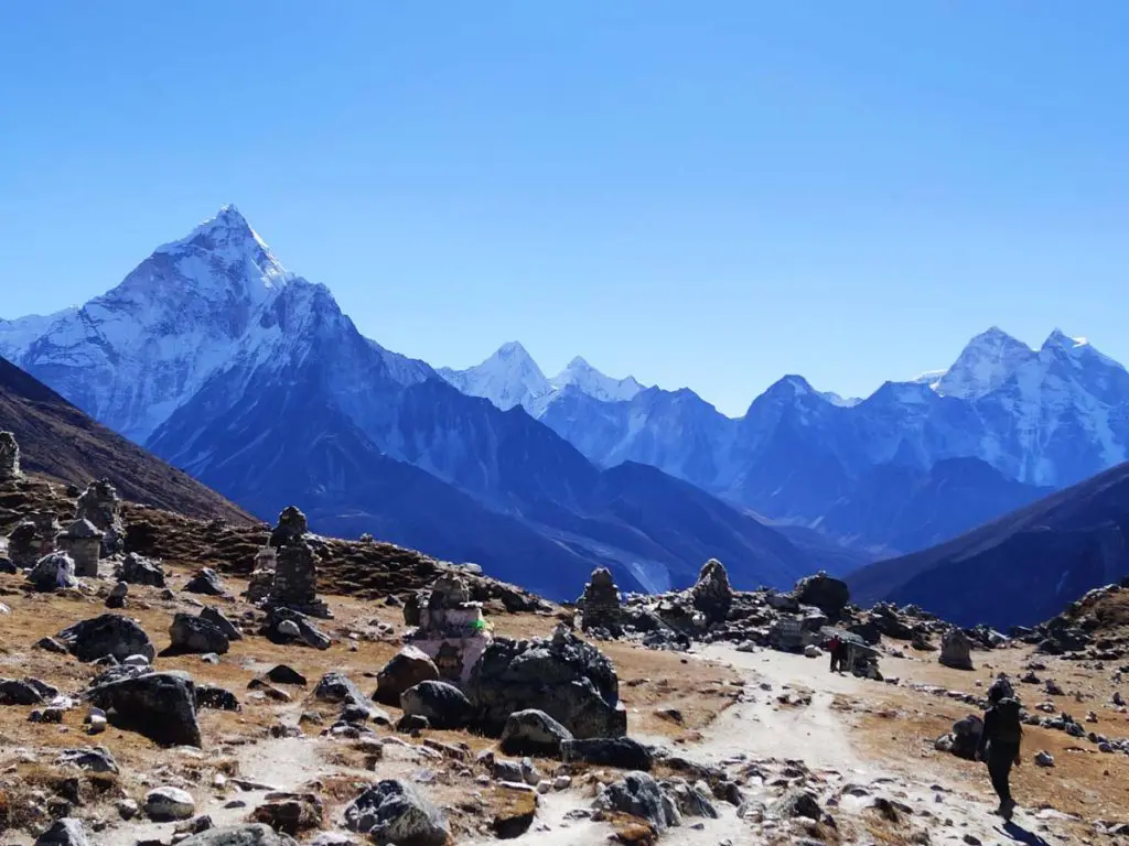
- Thukla Pass (Day 8): look back from the memorials and Ama Dablam rises behind the chortens.
First ascent: the Silver Hut expedition
Ama Dablam was first climbed on 13 March 1961 by Mike Gill (New Zealand), Barry Bishop (USA), Mike Ward (UK) and Wally Romanes (New Zealand). They were members of Sir Edmund Hillary’s Silver Hut scientific expedition, which spent the winter of 1960–61 studying the effects of altitude in a hut on the Mingbo Glacier. Their route up the South-west Ridge is still the standard way up today.
Climbing Ama Dablam today
Ama Dablam is one of the most popular technical peaks in the Himalaya, but it is a serious climb, not a trekking peak. Expeditions usually take three to four weeks, with a base camp in grassy meadows above Pangboche at about 4,600 m and camps on the South-west Ridge. The route has steep rock, mixed climbing, fixed ropes and exposed snow ridges, including the famous Yellow Tower and the Mushroom Ridge below the summit. Climbers need solid alpine experience and prior high-altitude ascents.
For trekkers, a day hike from Pangboche to Ama Dablam Base Camp is a rewarding side trip, with close views of the face and the chance to see climbing teams in season. It adds an extra day to the standard itinerary.
Best time to see Ama Dablam
October and November give the clearest, sharpest views and are also the main climbing season. March to May is good too, with rhododendrons flowering lower down. Early morning is best; the peak often catches the first sun while the valleys are still in shadow. Read our best time to trek Everest Base Camp guide for month-by-month conditions.
Photography tips
- Shoot from Tengboche at sunset and from Pangboche at sunrise for warm light on the south-west face.
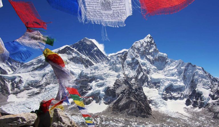
- Use a stupa, prayer flags or a mani wall in the foreground to give scale.
- Bring a spare battery; cold drains batteries fast above 4,000 m.
- Ask before photographing people, monks and monasteries.
Ama Dablam on the 14-day Everest Base Camp Trek
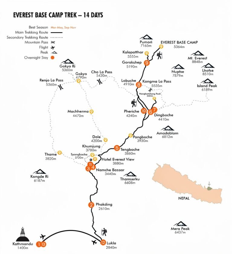
Ama Dablam is your companion from Day 4 to Day 11: above Namche, at Tengboche, through Pangboche and around Dingboche, and again on the way down. See the full route on our Everest Base Camp trek map and the day-by-day itinerary.
Highlights
- Photograph the Khumbu's most famous peak from Tengboche
- Watch sunrise light up the south-west face from Pangboche
- See its steep north face from Dingboche and Nangkartshang
- Learn the meaning behind the mother's necklace
- Optional day hike to Ama Dablam Base Camp
- Spot climbing teams on the ridge in autumn
Gallery
Location
Open in Google MapsFrequently asked questions
How high is Ama Dablam?
Ama Dablam is 6,812 metres (22,349 ft) high.
What does Ama Dablam mean?
It means 'mother's necklace'. The ridges look like a mother's arms, and the hanging glacier looks like a dablam, the charm box worn by Sherpa women.
Can you see Ama Dablam on the Everest Base Camp trek?
Yes, for most of the trek. It is visible from above Namche, Tengboche, Pangboche, Dingboche and the Thukla Pass memorials.
Who first climbed Ama Dablam?
Mike Gill, Barry Bishop, Mike Ward and Wally Romanes made the first ascent on 13 March 1961, during Sir Edmund Hillary's Silver Hut expedition.
Is Ama Dablam harder than Everest?
It is lower but more technical, with steep rock, mixed ground and exposed ridges. Everest is higher and more dangerous because of the extreme altitude. Both need serious mountaineering experience.
Can trekkers visit Ama Dablam Base Camp?
Yes. It is a day hike from Pangboche and needs an extra day in the itinerary. Ask us to add it to your trek.
Where is the best view of Ama Dablam?
Tengboche at sunset and Pangboche at sunrise give the classic south-west view. Dingboche and Nangkartshang Peak show its steeper north side.