





Hillary Suspension Bridge
The prayer-flag bridge high above the Dudh Koshi, gateway to Namche Bazaar
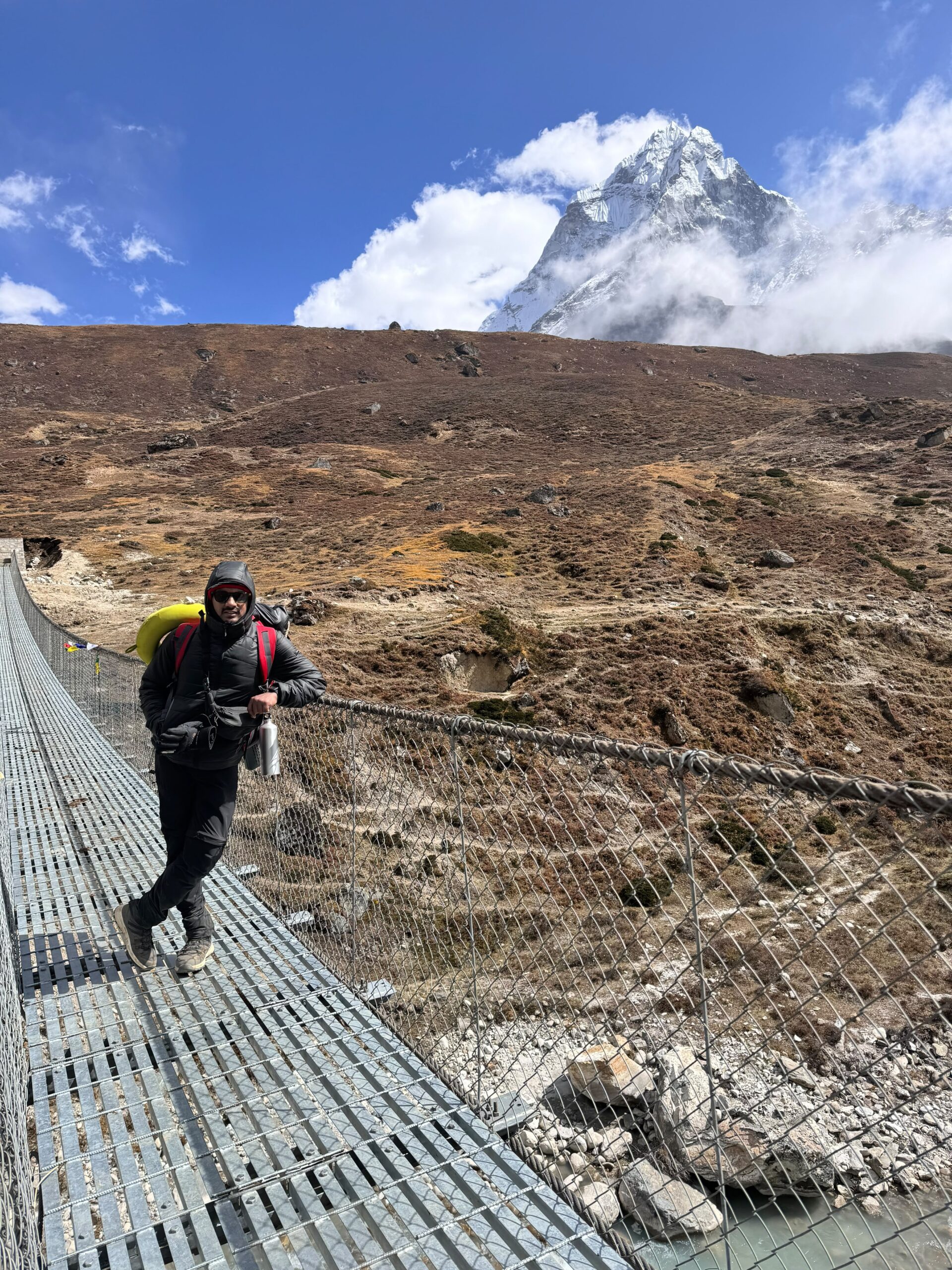
The Hillary Suspension Bridge is the most iconic crossing on the Everest Base Camp trek. Covered in prayer flags, it hangs about 135 m above the gorge at Larja Dobhan, where the Bhote Koshi meets the Dudh Koshi. You cross it on the way to Namche Bazaar, with the old bridge hanging in the gorge below and the steep climb to the Sherpa capital just ahead.
Why Hillary Suspension Bridge is known
Most famous suspension bridge on the Everest Base Camp trek
Hundreds of colourful Buddhist prayer flags
Two bridges stacked one above the other over the gorge
Confluence of the Dudh Koshi and Bhote Koshi rivers
Last big crossing before the climb to Namche Bazaar
Named in honour of Sir Edmund Hillary
About Hillary Suspension Bridge
The Hillary Suspension Bridge is the most famous bridge on the trail to Everest and one of the most photographed places in the Himalaya. Draped in hundreds of prayer flags, it hangs roughly 135 metres above a deep gorge at Larja Dobhan, where the Bhote Koshi river joins the Dudh Koshi. Every trekker on the Everest Base Camp Trek crosses it on the way to Namche Bazaar, and for many it is the moment the adventure starts to feel real.
This guide explains where the bridge is, why there are two bridges stacked one above the other, what the crossing feels like, how to share it safely with yaks and porters, and how to get the best photos.
Hillary Bridge at a glance
- Local name: Larja Dobhan bridge (also spelled Larja Dovan or Larcha Dobhan)
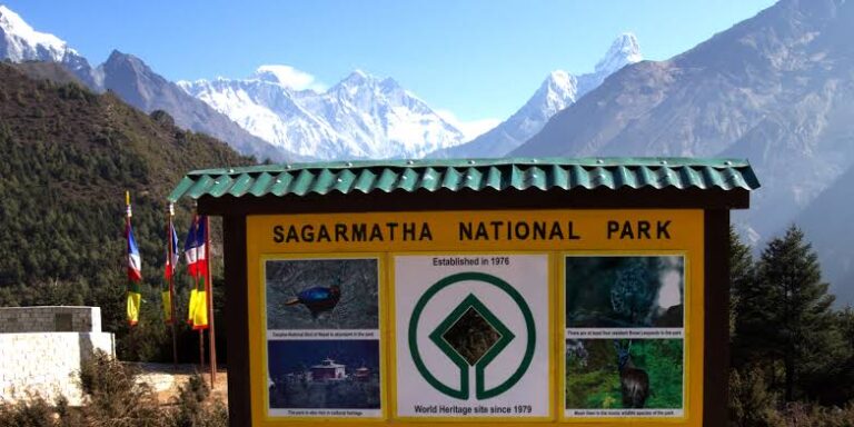
- Location: between Jorsalle and Namche Bazaar, inside Sagarmatha National Park, Solukhumbu, Nepal
- Elevation: about 2,860 m (9,383 ft)
- Height above the river: commonly given as about 135 m (443 ft)
- Rivers: crosses the gorge at the confluence of the Dudh Koshi and Bhote Koshi
- Type: steel cable suspension bridge with a metal mesh walkway
- Distance from Jorsalle: about 1.7 km, roughly 30 to 40 minutes on foot
- To Namche from the bridge: a steep climb of about 2 to 3 hours
- On our trek: Day 3 of the 14-day Everest Base Camp Trek
Where is the Hillary Suspension Bridge?
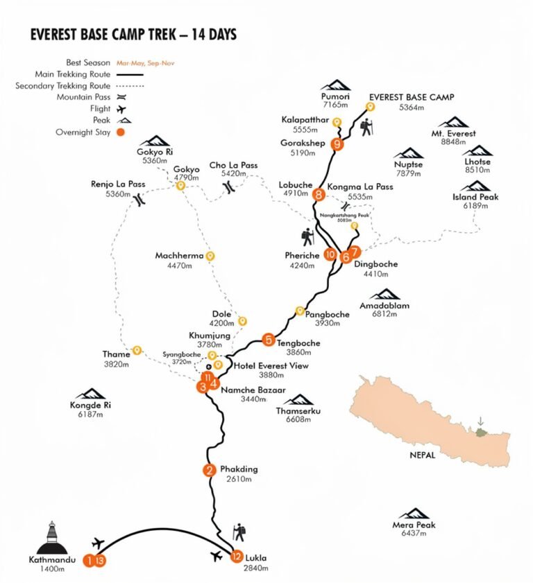
The bridge sits on the main trail from Lukla to Namche Bazaar, on the second day of walking. From Phakding the trail follows the Dudh Koshi upstream through Benkar to Monjo, where you enter Sagarmatha National Park. You then drop to Jorsalle, the last village on the valley floor, and walk along the riverbank over boulders and sand until the valley narrows into a gorge. Look up and you will see it: a line of colourful flags strung across the sky between two cliffs.
This spot, Larja Dobhan, is a dobhan or river confluence. The Bhote Koshi flows in from the west, from the Thame valley and the old trading route to Tibet, and meets the Dudh Koshi coming down from the high Khumbu. It is the only place on the Everest Base Camp route where you see the Bhote Koshi at all.
Two bridges, one above the other
The first thing many trekkers notice is that there are two bridges here. The lower one is the older crossing. It is no longer used, but it still hangs across the gorge below, and it makes for one of the most recognisable photos of the whole trek. The higher bridge is the newer one that everyone crosses today. Building it higher up the cliff cut out a steep descent to the river and the climb back up the other side, saving trekkers, porters and yaks time and effort every single day. Stay on the main trail and never try to walk onto the old bridge.
Why is it called the Hillary Bridge?
“Hillary Bridge” is a popular name rather than an official one. It honours Sir Edmund Hillary, who with Tenzing Norgay Sherpa made the first ascent of Everest in 1953 after walking up this very valley. Hillary spent the rest of his life helping the Sherpa people through his Himalayan Trust, which built schools, clinics, the Lukla airstrip and bridges across the Khumbu. Trekkers and guides began calling the great bridge at Larja Dobhan after him, and the name stuck. You will find his legacy all along the trail, including the Hillary School in Khumjung, above Namche.
What crossing the bridge feels like
The walkway is made of steel mesh with high cable sides and plenty of wire netting, so it is solid and safe. It does sway and bounce gently as people walk, and the wind can make the prayer flags snap loudly around you. Halfway across, look down through the mesh at the white water far below, and back toward the old bridge hanging in the gorge. Most people find the crossing far less scary than they expected, and almost everyone stops on the far side to look back and take a photo.
Sharing the bridge with yaks and porters
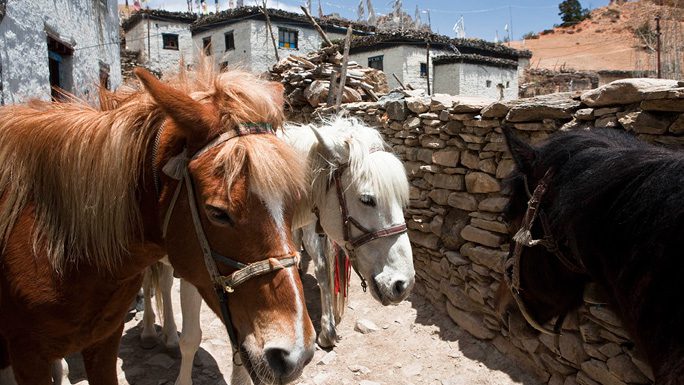
The bridge is the main supply route to Namche and the high Khumbu, so you will share it with porters carrying huge loads and with trains of yaks, dzo (yak-cow crossbreeds) and mules. These simple rules keep everyone safe:
- Wait if animals are coming. Never start across while a yak or mule train is on the bridge or about to step onto it. Let them cross first.
- Stand on the mountain side. While animals pass on the trail, always step to the uphill side, never the cliff side, so a loaded animal cannot push you off the path.
- Give porters the right of way. Their loads are heavy and hard to stop.
- Keep moving. Take photos from the ends of the bridge rather than stopping in the middle when it is busy.
- Hold the side cables if the wind is strong, and keep your trekking poles tucked away so they don’t catch in the mesh.
Afraid of heights?
You are not alone, and people with a fear of heights cross every day. Walk with your guide right beside you, look ahead at the far end rather than down, and take slow, steady steps. Choose a quiet moment when the bridge is empty so it moves less. It takes only a minute or two, and the pride you feel on the other side is part of the reward.
Photo tips
- The classic view of both bridges is from the trail as you approach from Jorsalle, and again from the first switchbacks after you cross.
- Morning light is usually clearer, before cloud fills the valley.
- Use a wrist strap or neck strap for your phone or camera. Anything dropped here is gone.
- Don’t fly a drone without permission. Sagarmatha National Park requires a permit for drones.
After the bridge: the climb to Namche Bazaar
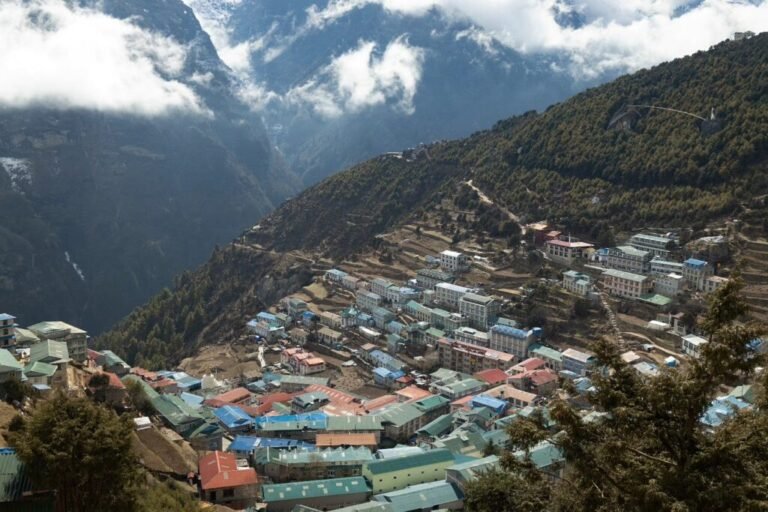
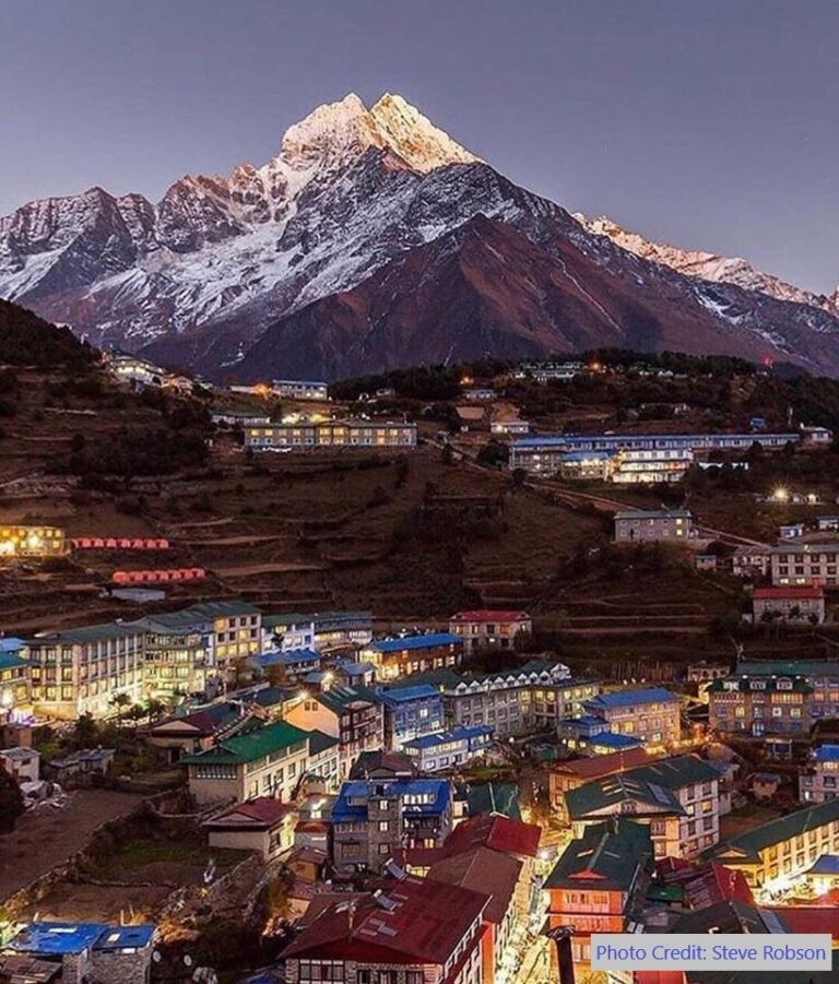
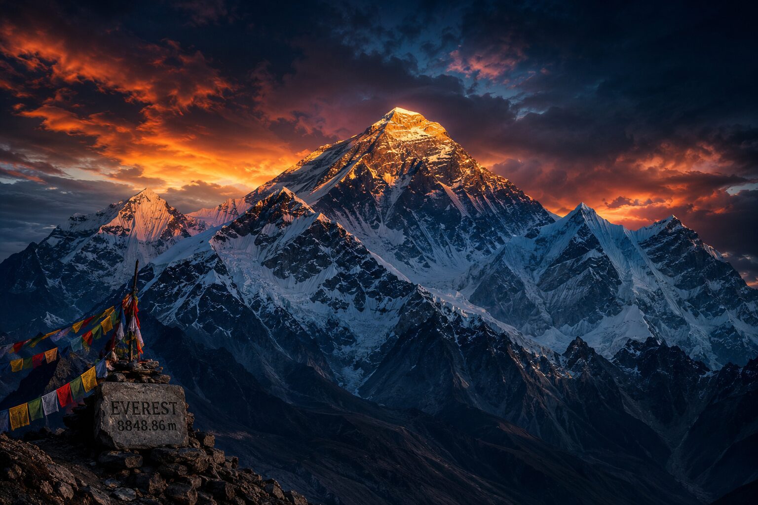
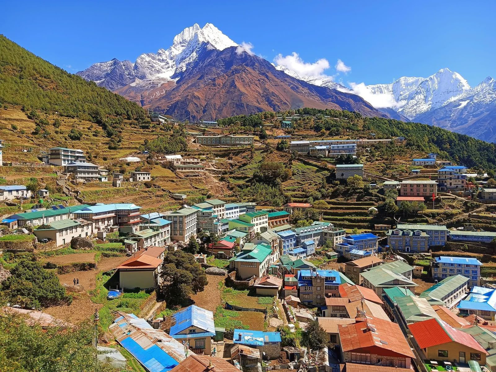
Crossing the bridge marks the start of the hardest part of the day. The trail zig-zags steeply up through pine forest for about two to three hours, gaining roughly 600 metres to reach Namche Bazaar at 3,440 m. About halfway up, at a clearing known as Top Danda, there is a viewpoint where, on a clear day, you can catch your first glimpse of Mount Everest. Walk slowly, drink water and take breaks. This climb is one reason the next day is an acclimatisation day in Namche.
The Hillary Bridge on the 14-day Everest Base Camp Trek
On our itinerary you cross the bridge on Day 3, the walk from Phakding to Namche Bazaar. You cross it again on the way down, on Day 12, as you return from Namche to Lukla. Follow the whole route on our Everest Base Camp trek map, and see how difficult the trek is before you book.
Best time to cross
The bridge is open all year. October to November and March to May bring the clearest skies and the best views on the climb to Namche. In spring, rhododendrons bloom in the forest around the gorge. The monsoon (June to August) brings rain, mist and a much louder river below. See our month-by-month guide to the best time to trek.
Highlights
- Walk across a sky-high bridge wrapped in prayer flags
- Look down 135 m to the roaring Dudh Koshi
- See the old Hillary bridge hanging in the gorge below
- Stand where the Bhote Koshi meets the Dudh Koshi
- Watch yak trains and porters cross the Khumbu lifeline
- Take the classic double-bridge photo from the trail
- Climb on to your first view of Everest at Top Danda
Gallery
Location
Open in Google MapsFrequently asked questions
Where is the Hillary Suspension Bridge?
At Larja Dobhan on the Everest Base Camp trail, between Jorsalle and Namche Bazaar in Sagarmatha National Park, Solukhumbu, Nepal. It spans the gorge where the Bhote Koshi joins the Dudh Koshi.
How high is the Hillary Bridge?
It hangs about 135 metres (443 ft) above the river, the figure most often given. The bridge itself sits at about 2,860 m (9,383 ft) above sea level.
Why is it called the Hillary Bridge?
It is a popular name honouring Sir Edmund Hillary, who climbed Everest with Tenzing Norgay in 1953 and later built schools, clinics and bridges for Sherpa communities. Locally it is known as the Larja Dobhan bridge.
Why are there two bridges?
The lower bridge is the old crossing and is no longer used. The higher bridge is the newer one everyone crosses today, built higher up to avoid the steep descent to the river.
Is the Hillary Bridge safe?
Yes. It is a steel cable bridge with a mesh walkway and high netted sides, crossed by thousands of trekkers, porters and pack animals every season. Follow your guide and wait for yak trains to pass.
Is the bridge scary if I am afraid of heights?
It sways a little and the drop is big, but the sides are high and enclosed. Walk with your guide, look ahead rather than down, and cross when it is quiet. The crossing takes only a minute or two.
How far is Namche Bazaar from the Hillary Bridge?
About 2 to 3 hours of steep uphill walking, gaining roughly 600 m to Namche Bazaar at 3,440 m.
Can you see Everest from the Hillary Bridge?
Not from the bridge itself. Your first view of Everest comes about halfway up the climb to Namche, at a viewpoint called Top Danda, on a clear day.
On which day do I cross the bridge on the 14-day EBC trek?
On Day 3, walking from Phakding to Namche Bazaar, and again on Day 12 on the way back to Lukla.
Can I walk on the old Hillary Bridge?
No. The old lower bridge is not maintained. Always stay on the main trail and use the upper bridge.