










Khumbu Glacier
The river of ice that leads you to Everest Base Camp
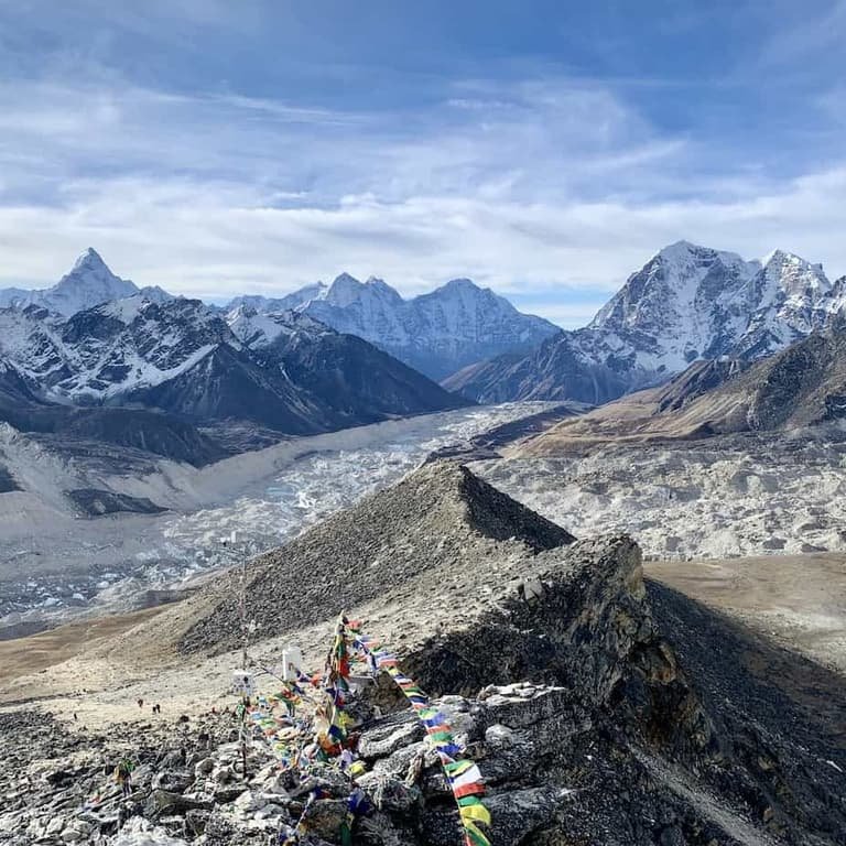
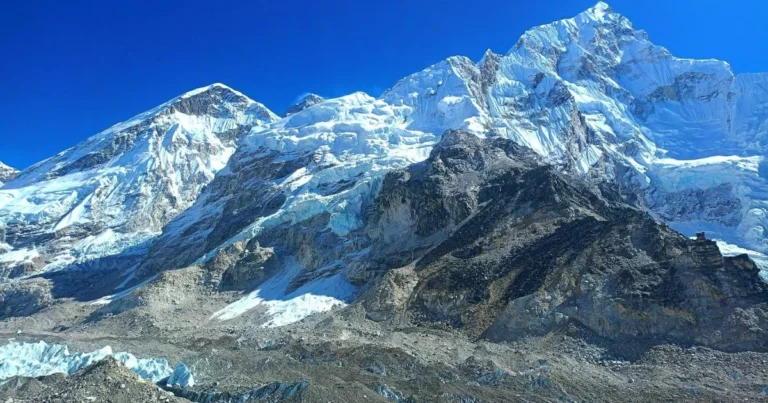
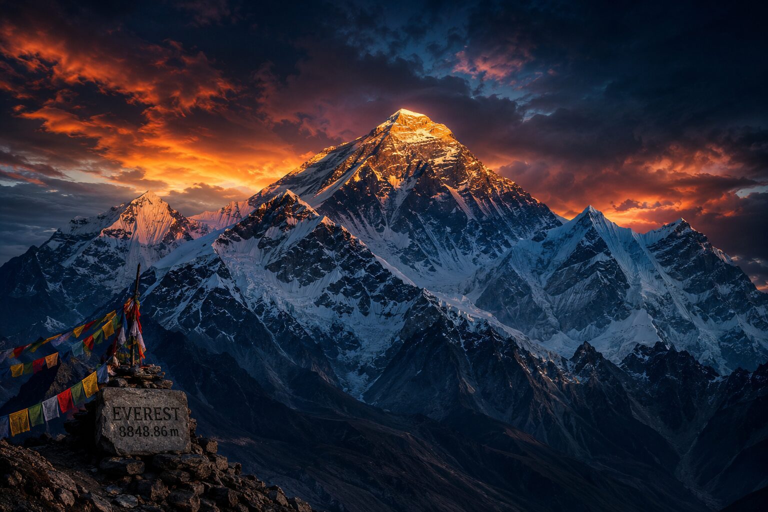
The Khumbu Glacier flows from the Western Cwm below Everest through the Khumbu Icefall and south past Gorak Shep and Lobuche to Thukla. Everest Base Camp sits on its ice. On the trek you follow its moraine for two days and look down on it from Kala Patthar.
Why Khumbu Glacier is known
One of the highest glaciers in the world
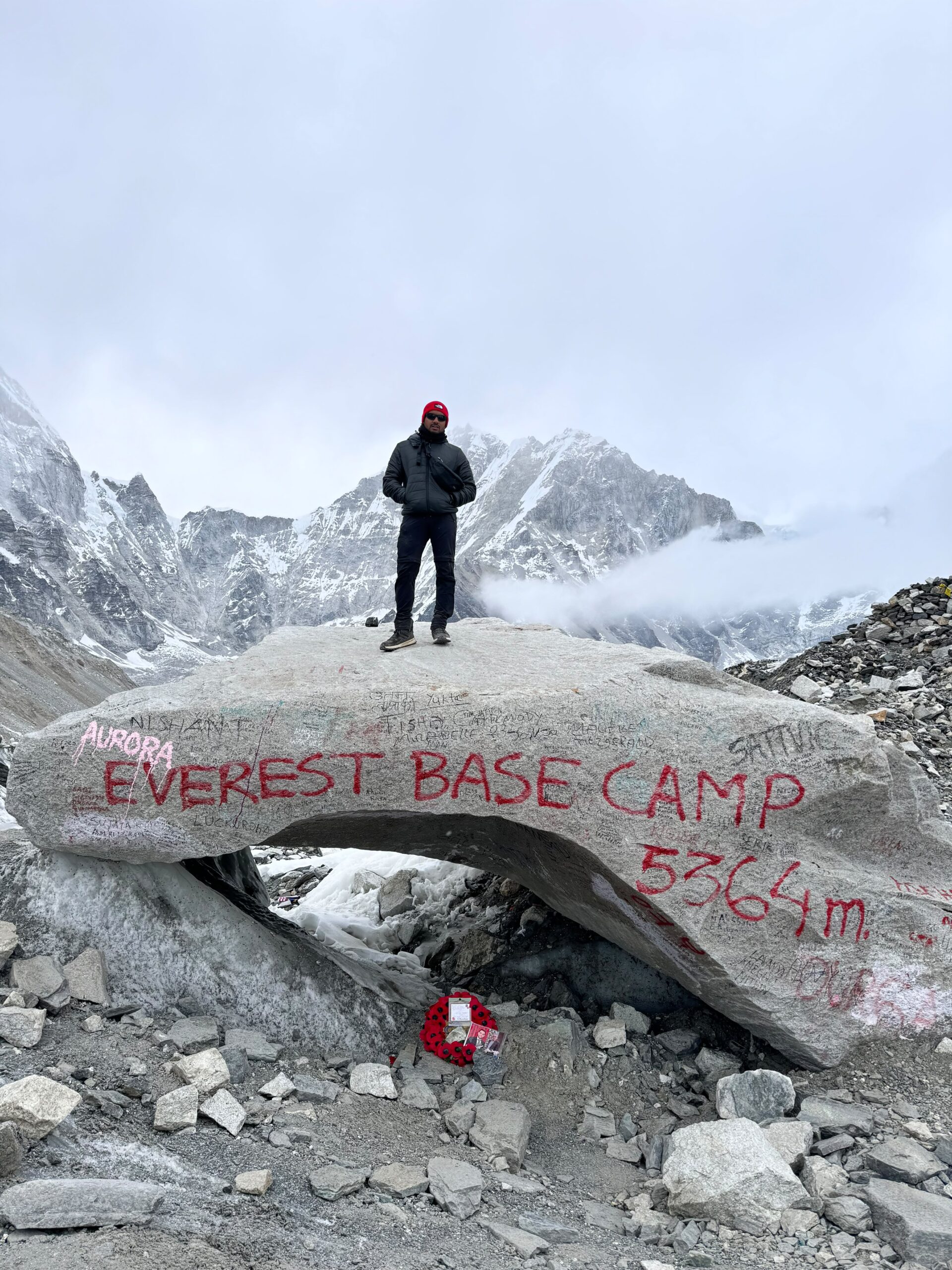
Everest Base Camp sits on its moving ice
Rock-covered surface with ice cliffs and turquoise ponds
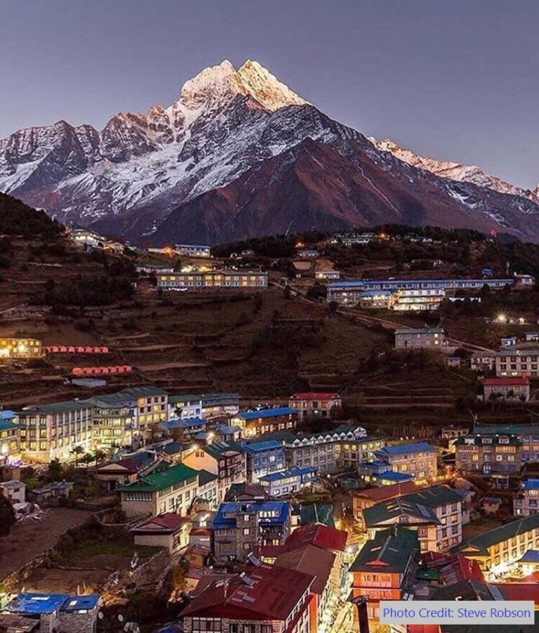
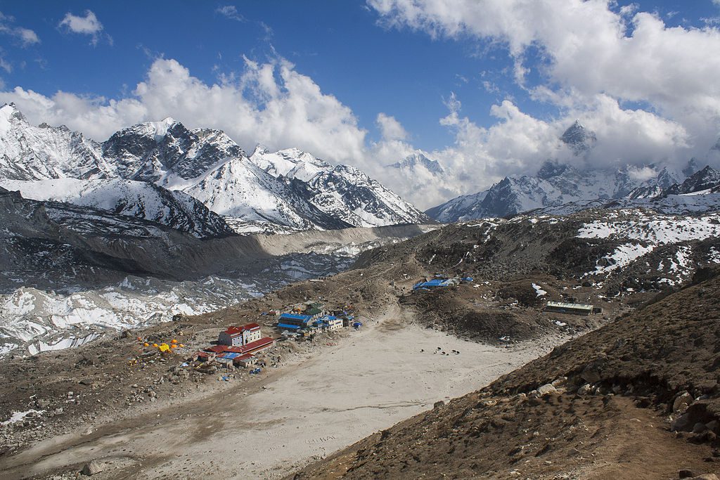
Lobuche and Gorak Shep built on its moraine
A visible example of Himalayan glacier retreat
About Khumbu Glacier
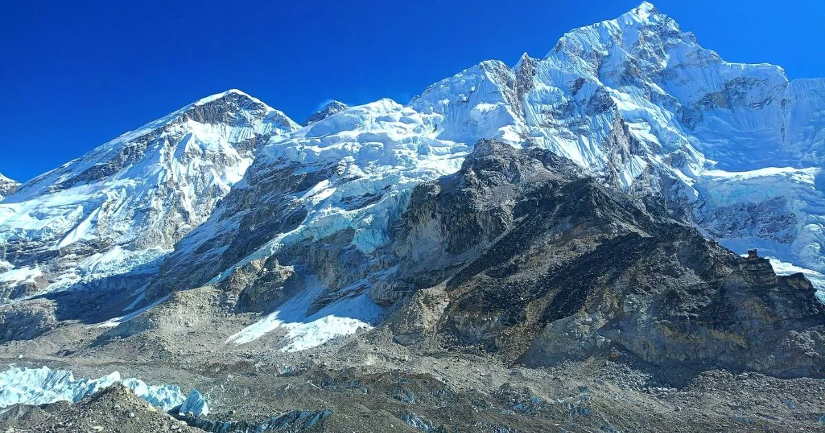
For the last two days of the walk to Everest Base Camp, you walk beside, and finally onto, one of the highest glaciers on Earth. The Khumbu Glacier begins in the Western Cwm below Mount Everest and Lhotse, tumbles through the Khumbu Icefall, then flows south for about 12 km past Gorak Shep and Lobuche before ending near Thukla. Its rubble-covered surface, grey ice cliffs and turquoise meltwater pools are the landscape of the upper Everest Base Camp Trek.
Khumbu Glacier at a glance
- Length: about 12 km from the foot of the Icefall to the snout, longer if you include the Western Cwm
- Altitude: from about 7,600 m in the Western Cwm to about 4,900 m at the snout near Thukla
- Type: debris-covered valley glacier; most of the ice is hidden under rocks and gravel
- Villages on its moraine: Lobuche and Gorak Shep
- Feeds: the Lobuche Khola, which joins the Imja Khola and the Dudh Koshi
- On our trek: Day 8 (Thukla to Lobuche) and Day 9 (Lobuche to Everest Base Camp)
Where you meet the glacier on the trail
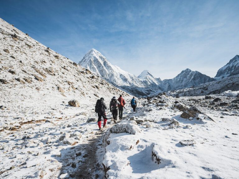
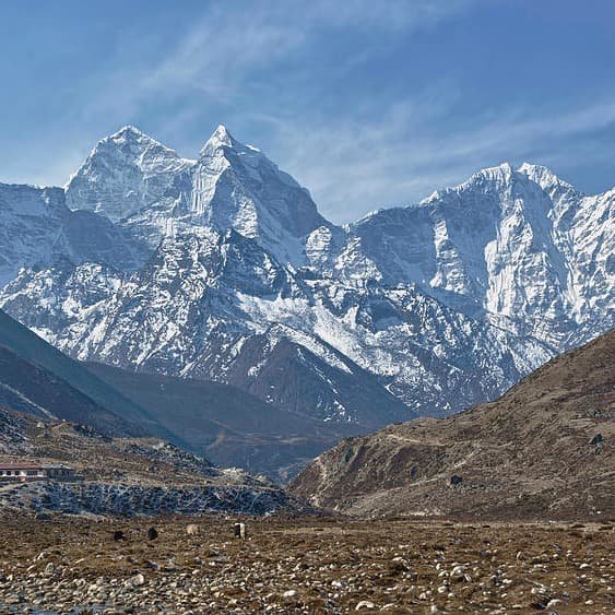
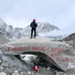
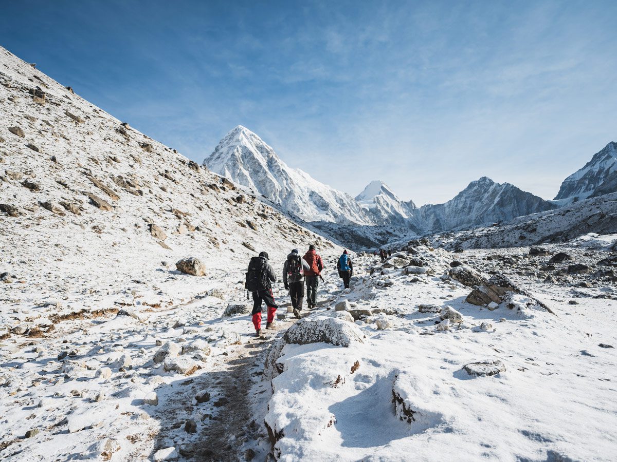
The first sign of the glacier is the steep climb above Thukla to the Thukla Pass memorials: you are climbing its terminal moraine, the huge ridge of rock pushed up at the glacier’s end. Beyond the memorials, the trail follows the lateral moraine on the glacier’s west side up to Lobuche. On Day 9 it continues along the moraine to Gorak Shep, a flat sandy bowl that was once a glacial lake, then crosses rocky ground and finally the glacier itself to reach Base Camp, which sits on moving ice.
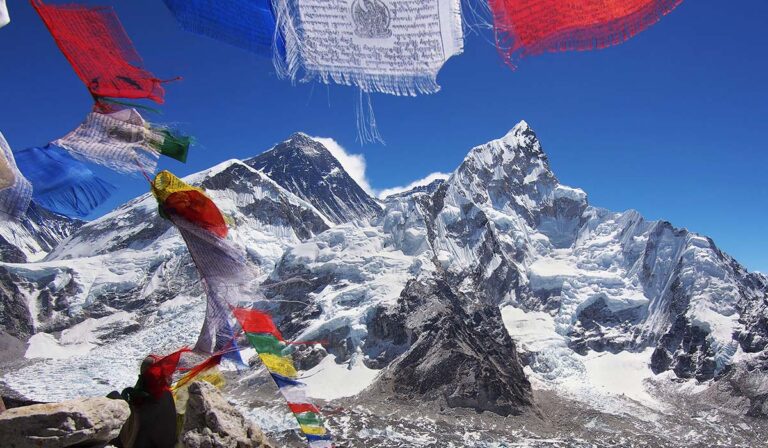
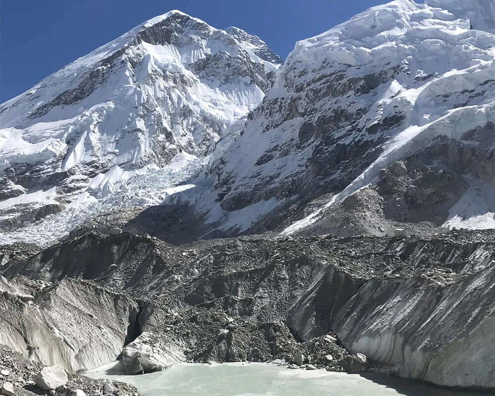
Look down from the moraine and you will see the glacier’s surface: a jumble of grey rocks, ice cliffs streaked with dirt, and small green and turquoise lakes. Listen and you may hear rocks sliding and ice cracking as the glacier moves.
A debris-covered glacier
Unlike the white glaciers on postcards, the lower Khumbu is buried under a layer of rock that falls from the surrounding peaks. In places this debris is metres thick and insulates the ice below. Where the debris is thin, the ice melts faster, creating hollows, ice cliffs and ponds. Further up, near Base Camp, the clean white ice and pinnacles called seracs show what lies beneath.
A glacier under pressure
Like most Himalayan glaciers, the Khumbu is thinning as the climate warms. Scientific studies have measured its surface lowering by tens of metres in places since the 1950s, and the lakes on its surface have grown. Expedition operators report Base Camp becoming rockier and more uneven, with meltwater streams flowing through it, and Nepal has discussed moving Base Camp lower in future. Walking beside the Khumbu is a chance to see these changes for yourself, so please carry your rubbish out and use the toilets provided.
Walking safely near the glacier
- Stay on the marked trail; the moraine edges can collapse.
- Do not walk onto the glacier outside the Base Camp trail; crevasses and loose ice are hidden under the rocks.
- Watch for rockfall on the section between Lobuche and Gorak Shep, especially in the afternoon sun.
- Walk slowly. You are above 4,900 m, and breathing is hard work.
Khumbu Glacier on the 14-day Everest Base Camp Trek
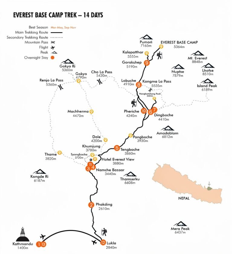
You follow the glacier on Day 8, from Thukla to Lobuche, and on Day 9, from Lobuche to Gorak Shep and Everest Base Camp, then look down on it from Kala Patthar on Day 10. See the route on our Everest Base Camp trek map.
Highlights
- Walk the moraine ridge beside one of the world's highest glaciers
- See ice cliffs and turquoise meltwater lakes up close
- Stand on the glacier at Everest Base Camp
- Look down on its full length from Kala Patthar
- See first-hand how Himalayan glaciers are changing
Gallery
Location
Open in Google MapsFrequently asked questions
How long is the Khumbu Glacier?
About 12 km from the foot of the Khumbu Icefall to its snout near Thukla, and longer if you include the Western Cwm above the Icefall.
Is Everest Base Camp on the Khumbu Glacier?
Yes. Base Camp sits on the moving, rock-covered ice of the Khumbu Glacier at about 5,364 m, below the Khumbu Icefall.
Where do you see the Khumbu Glacier on the trek?
From the Thukla Pass climb onwards. The trail follows its lateral moraine from Thukla to Lobuche and Gorak Shep, and you look down on it from Kala Patthar.
Why is the Khumbu Glacier covered in rocks?
Rock falls from the surrounding peaks and collects on the surface as the ice flows. On the lower glacier this debris layer can be several metres thick.
Is the Khumbu Glacier melting?
Yes. Studies show it has thinned significantly since the 1950s and meltwater lakes on its surface are growing, as with most Himalayan glaciers.
Is it safe to walk near the Khumbu Glacier?
Yes, on the marked trail with a guide. Don't walk onto the ice away from the trail, and watch for rockfall on the moraine.